Water is a fleeting commodity. It will appear out of nowhere as if by magic to give birth to a babbling brook. It may even flow into a large channel, seeping into the soil until all that's left downstream is a shady arroyo with just the surrounding trees to indicate that the water has gone.
Since it is difficult to analyze, the relationship between surface water and groundwater is often ignored by those that use this critical resource. UC Santa Barbara assistant professors Scott Jasechko and Debra Perrone, and their colleagues used their massive archive of groundwater measurements to look at these conditions' interactions. Their observations, which were published in the journal Nature, show that far more waterways in the United States are leaking water into the field than previously believed.
Surface and Groundwater Interaction
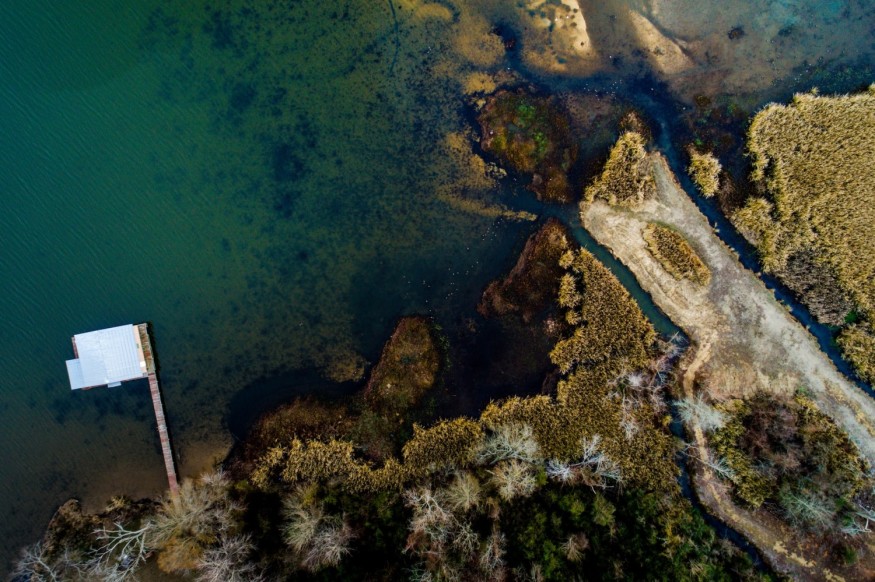
Surface and groundwaters intersect in certain areas, while impermeable rock layers divide them in others. It is determined by the geology under the soil. Water will, therefore, the transition between flowing above and below ground where they do intersect.
Gaining and Losing Rivers
"Gaining rivers" get their water from the groundwater below them, while "losing rivers" seep into the aquifer under them. On a continental scale, scientists didn't have a clear idea of the occurrence of any of these diseases. Simply stated, no one had ever stitched together so many groundwater measurements before, according to Jasechko, the study's co-lead author.
Related Article: Rivers in US are Getting Darker Colors, But No One's Alarmed Yet
Water Levels
Water level readings from a few hundred to 1,000 wells are typical in groundwater studies. There are 4.2 million people in this survey.
Perrone and Jasechko spent years collecting and reviewing data from 64 organizations throughout the United States. "It took a long time to gather all of this material. Over the span of six years, we obtained millions of data points and checked hundreds of articles, "According to Perrone.
A lot of the team's subsequent analyses have been prompted by the database that resulted. "We will use this large dataset in novel ways to answer questions we haven't been able to answer before," she said.
Comparing Water Levels
Jasechko, Perrone, and their coauthors compared water levels in wells to the surface of a nearby stream for this study. "On a broad dataset, we implement a basic process," Jasechko explained. "We find wells with water levels below the nearest stream, meaning that if the subsurface is permeable enough, these surrounding streams may leak into the subsurface."
According to the researchers, nearly two-thirds of the wells had water temperatures that were lower than the closest stream. This induces a gradient, which allows water to flow from the river channel into the aquifer below.
Losing Waters
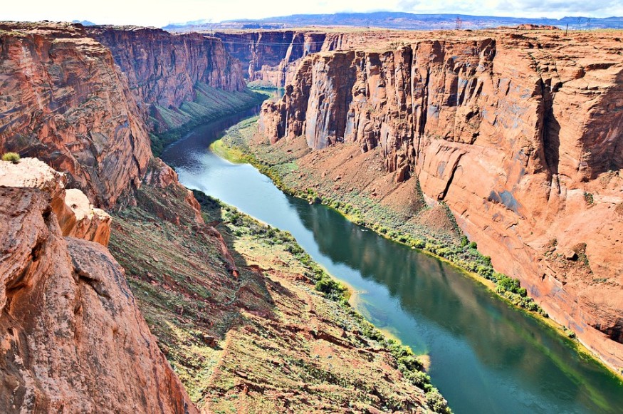
"According to our report, two out of every three rivers in the United States are now losing water. This trend is very likely to escalate in the coming decades, and some rivers might even vanish, "Hansjörg Seybold, co-lead author at ETH Zurich, said
"The phenomenon, which began decades ago, has now spread through the United States. We discovered that there are far more streams draining into underlying aquifers than we had previously thought, "Seybold went on. "Given the importance of rivers and streams as a source of water for irrigation and settlements, the severity of the situation came as a shock."
Possible Causes
Arid environments, flat topography, and areas with intensive groundwater pumping were found to be especially vulnerable to river water loss. Flat fertile land in semi-arid areas like California's Central Valley is an excellent example of this. "We're drinking the rivers dry," Seybold said.
Water levels fluctuate over years and decades, and for many of the wells in the report, the researchers only have one data point. The team's other research suggests that groundwater fluctuates by no more than a few meters over the course of a year. However, the water level in several wells near losing rivers was more than two meters below the surface of the closest stream, suggesting that leaky rivers are possibly common, according to the researchers.
ALSO READ: The Diminishing California ‘Fossil Water'
For more environmental news, don't forget to follow Nature World News!
© 2026 NatureWorldNews.com All rights reserved. Do not reproduce without permission.


