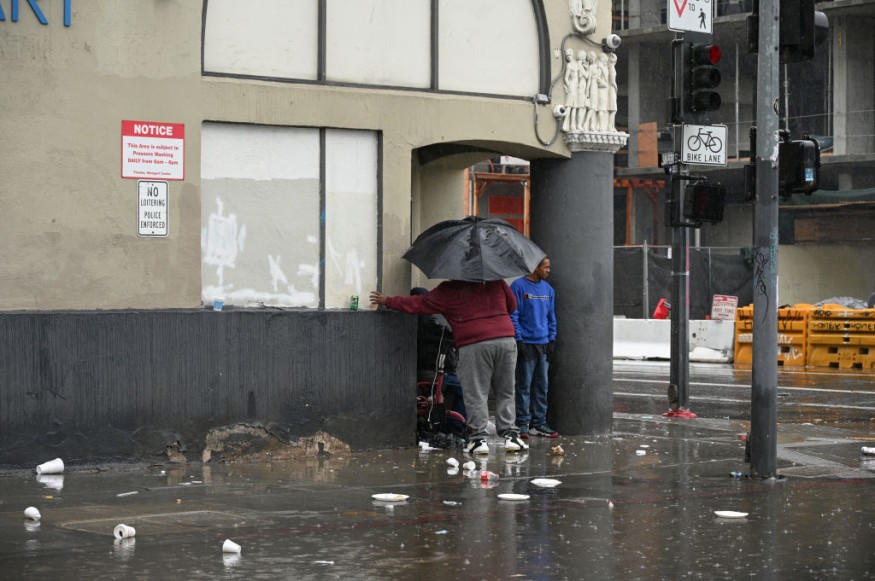
Weather experts said that a pair of storms is set to bring floods and landslides in California.
Based on the weather forecast, two consecutive storms are slated to move into California this weekend up to early next week.
Flood Threats California
The phenomenon will bring travel concerns and the threat of flooding across the state.
After a brief dry stretch on Friday across the West Coast, the first of the two storms will arrive along the Northern California and southwestern Oregon coast in the evening and it will then spread inland through Saturday night.
Meteorologists said that the heaviest precipitation would focus across Northern and Central California, where a general 0.50-1.50 inch of rain can fall with localized amounts that are as high as three inches in some of the higher terrain near the coast.
The National Weather Service (NWS) said that a deep upper-level low over the Eastern Pacific would send a plume of moisture into the West Coast on Saturday.
Weather experts said that this moisture would be supported by a low pressure system and an attendant cold front at the surface.
Due to this, heavy rains will develop across southern Oregon and northern California in the evening before spreading south into central and southern California on Saturday.
Further, there is a slight risk of excessive rainfall (level 2/4) leading to flash flooding for portions of Humboldt County down to Sonoma on Saturday where between one to two inches per hour rainfall rates are possible.
On the other hand, heavy snow will develop over the Sierra Nevada and Shasta/Trinity on Saturday night as the Pacific moisture will move inland.
Meanwhile, another low pressure system will bring yet another round of heavy precipitation to California on Sunday.
The heavy rainfall from the prior day in addition to the general sensitivity of California's coastal areas to heavy rainfall will support a slight risk of flash floods from Humboldt County down to Ventura on Sunday.
This moisture will eventually shift into the Sierra and Trinity/Shasta once again, and this will support additional moderate to heavy snowfall over those mountain ranges.
A total of one to two feet of snow are possible over the Sierra this weekend while one to three feet are more likely over the Trinity and Shasta Mountains.
Light To Moderate Snowfall
Meanwhile, a quick moving low pressure system will also sweep across the Southeast and Tennessee Valley today before exiting into the Western Atlantic later in the evening.
An area of light to moderate snowfall will develop over the northern periphery of this system, which will go on to produce a general swath of two to four inches of snow from eastern Missouri to southern New Jersey and Delaware.
Heavier snowfall will occur over the Central Appalachians of West Virginia into the Maryland Panhandle where four to six inches, with locally higher amounts are possible.
The timing of this snowfall could cause issues during rush hour commutes across the Midwest today. Weather experts warned that late night travel could be dicey from the DC up to Philadelphia metros during the evening.
Meanwhile, a deep southern stream trough will support rain showers and thunderstorms across parts of the Texas/Central Gulf Coast through the evening.
Moreover, showers and thunderstorms will develop across the Florida Peninsula on Saturday and continue into Sunday as an Arctic cold front propagates across the state.
Shortwave energy moving through the Rockies will promote moderate to heavy snowfall over the Northern and Central portions of the mountain range through this evening as well.
An Arctic air mass will also work its way through the Central and Southern parts of the country this weekend as the associated Arctic cold front moves through.
Temperatures across parts of the Great Plains, Mississippi Valley and eventually Southeast will be between 15-25 degrees below average this weekend.
Related Article : Northeastern US Weather Forecast: Snowstorm Possible to Bring Snow, Colder Conditions in Pre-Valentine
© 2026 NatureWorldNews.com All rights reserved. Do not reproduce without permission.


