A quick-moving clipper storm is expected to unload from Michigan to Central Appalachians, bringing stormy conditions and slower commutes this week. People are advised to stay updated with the weather, especially in the Northeast.
According to the National Weather Service (NWS), a wintry outlook is possible in the Southern Appalachians and Northeast US this week. In the lower 48 states, homeowners should expect a fair weather outlook. Above-average temperatures can unfold in the Central and Western US.
In the Western US, the atmospheric river (ARI) will help bring strong winds and precipitation. Homeowners warned of potential flooding and heavy rains. In the Southern parts, the forecast monitors widespread rain in the late week.
Quick-Moving Clipper Storm Impacts
In the weather forecast, the advisory warned of a clipper storm impacting parts of the US, from Michigan to the Appalachians. Stormy conditions are also expected in the Midwest, Great Lakes region and Ohio Valley.
Wintry conditions are expected over portions of Northern Illinois, Iowa, Minnesota and Wisconsin. Temperature drops are likely in Kansas City and St. Louis.
In the early week, ice and snow conditions are possible in Buffalo, Green Bay, Chicago, Pittsburgh, Washington and Charleston. Rainy outlook can spread over Louisville and Charlotte.
Due to the snow conditions, homeowners should stay alert for snowy outlook. Slippery roads and foggy conditions can emerge, including in North Carolina and West Virginia.
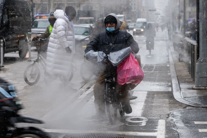
In New York City, homeowners can anticipate potential rain and snow in the early week. The wet snow can cause slick travel and road hazards. People commuting in the morning should check the latest road forecasts.
In Boston, the forecast warned of a winter storm and accumulating snow in the high-terrain areas this week. The rain will become noticeable in the evening.
In parts of the Northeast, the forecast raised concerns over the January thaw in the final week. Americans should stay alert for signs of hypothermia and frostbite.
Winter Storm Concerns in the Northeast: What Can People Stay Safe From Challenging Snow?
In the Northeast, the forecast warned of challenging weather conditions, bringing potential snow and colder conditions. Winter storm threats are still possible in January's end.
Limiting outdoor activities can also help to avoid prolonged exposure to hypothermia and frostbite. The troublesome snow can threaten daily travel in the region.
In addition, homeowners should keep emergency kits inside their homes due to potential blizzards and powerful snowstorms. For snow removal, people should be extra careful due to slipper spots and falling icicles.
Plants and pets are vulnerable to freezing conditions. Gardeners should cover their plants to avoid being frozen. For pet owners, it is important to update their pet's information if they become missing due to weather conditions.
Related Article : Midwest, Northeast Weather: Swath of Ice And Snow to Impact Midweek
For more similar, don't forget to follow Nature World New
© 2026 NatureWorldNews.com All rights reserved. Do not reproduce without permission.


