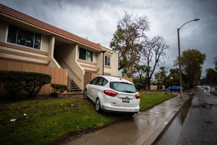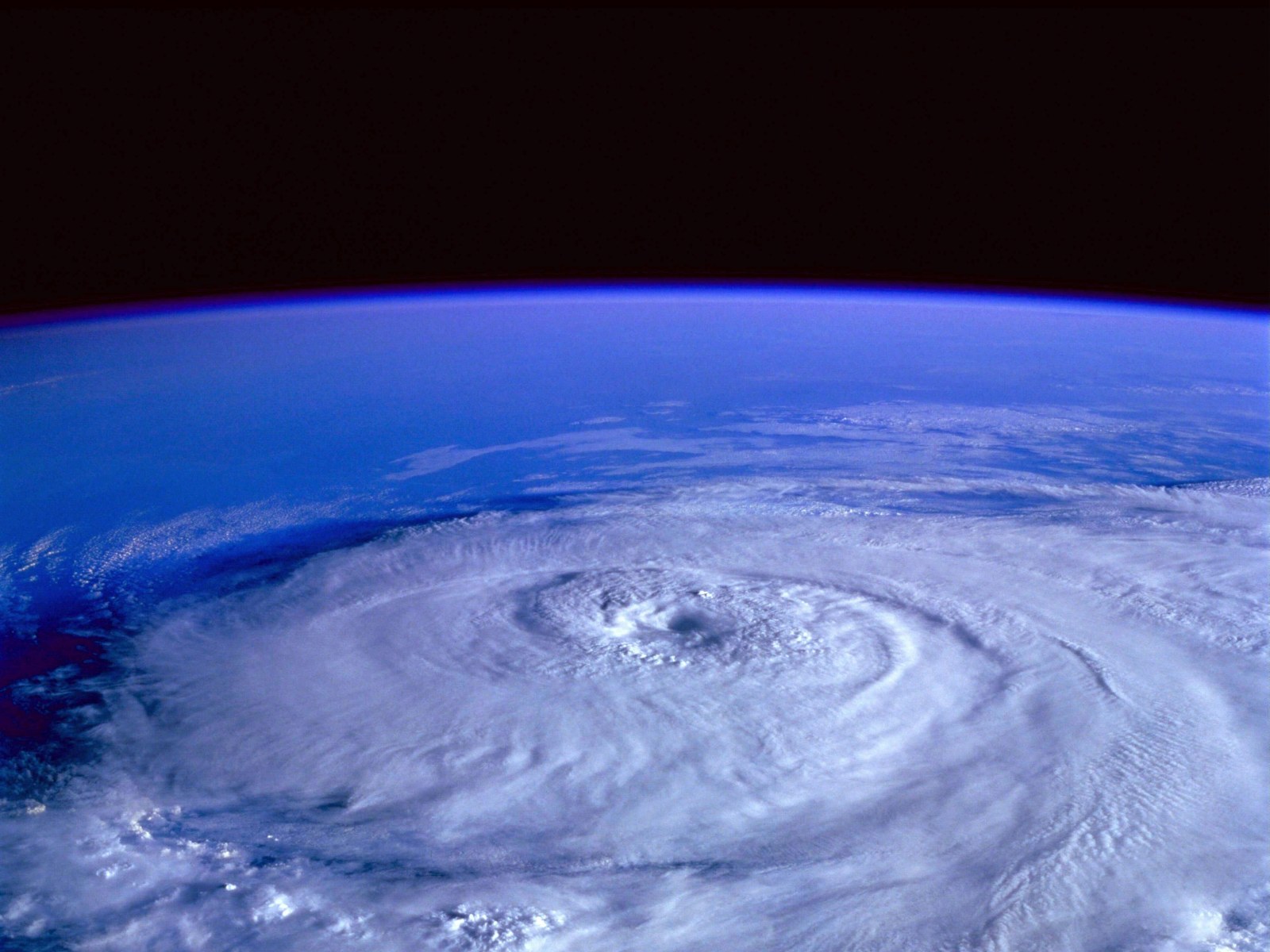
Weather experts warned that the southeast portion of the United States would experience heavy rains and tornadoes due to a storm.
They said that the same expansive storm that is expected to spread accumulating snow in the Ohio Valley as well as in the Northeast would also bring heavy rains and thunderstorms from the Gulf Coast into the Southeast on Friday and into the weekend.
Downpours To Cause Floods
While the rain will be much welcomed since ongoing extreme to exceptional drought remains across parts of lower Mississippi and Tennessee valleys, it will still bring a threat of flooding downpours in the areas in the mentioned valleys.
Meteorologists also forecasted that another powerful storm is poised to impact the central and eastern portions of the US.
The new storm will draw in moisture and warmer air from the Gulf of Mexico, which will then set the stage for a higher risk of severe weather system across the Southeast on Monday and even on Tuesday.
Forecasters further raised concerns about the threat of nocturnal tornadoes as severe storms are expected to continue into the night.
They explained that a nocturnal tornado threat is especially dangerous since people are often asleep or cannot see the tornado approaching at night.
They advised the public to have a weather radio and enable their weather alerts to ensure everyone's safety during bad weather.
The National Weather Service, meanwhile, bared that low pressure over the Eastern Gulf Coast moves northeastward out over the Western Atlantic by Thursday morning.
The storm is expected to produce light rain over parts of the Eastern Gulf Coast or towards the Southeast, expanding into the Southern Mid-Atlantic overnight Wednesday and moving off the Mid-Atlantic Coast by Thursday afternoon.
Meanwhile, the upper-level low will induce an area of low pressure over the Western Gulf Coast overnight Thursday, moving to the Central Gulf Coast by Friday evening.
Read Also : West Coast Weather Forecast: Cross-Country Storm To Bring Mountain Snow, Heavy Rain in Mid-January
Light Snow To Move Eastward
On Thursday evening, it is forecasted that light snow will continue to move eastward over the Central or the Southern Rockies.
Meteorologists said that in the evening of Thursday, rain with embedded thunderstorms will develop over the Southern Plains, while snow will develop over parts of the Central or Southern High Plains.
On Friday, it is expected that the light snow will expand into parts of the Middle and Lower Mississippi Valley while showers and thunderstorms develop over parts of the Central Gulf Coast.
Moreover, a front extending from the Lower Great Lakes into the Middle Mississippi Valley will move to the Northeast Coast by Thursday evening.
The lake-effect or the lake-enhanced snow associated with the front develops over the Upper Great Lakes and the Lower Great Lakes, with upslope snow developing over parts of the Central Appalachians and Northern New England that will end by late Thursday afternoon.
Meanwhile, in the Southwest, snow is expected following a mild and dry start to the new year.
A large storm is seen to interact with cold air and spread snow across the region during the middle to late parts of the week.
The storm will spread on Wednesday, with snow accumulating in Nevada before moving into Utah and Arizona on Wednesday night.
Moreover, by Thursday, snow will spread eastward into New Mexico and into the southern High Plains on Thursday night.
Related Article : NWS Weather Forecast: More Rain To Unload in Pacific Northwest; Lake-Effect Snow to Hit Great Lakes
© 2026 NatureWorldNews.com All rights reserved. Do not reproduce without permission.


