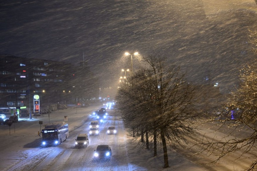
Weather experts forecasted that colder air would settle and bring some snow over southern states and central Appalachians amid a storm in the east.
They said that the storm was responsible for the three to six inches of rain that brought localized flooding in parts of western North Carolina.
This sliced across the middle part of the Atlantic as well as in the southern New England on Thursday.
Mild Air, Moisture
Meteorologists observed that after the pre-Christmas chill, milder air had come back to much of the East ahead of the new storm.
They said that the combination of mild air and moisture from the Atlantic had led to areas of dense fog and slow travel in the mornings of Tuesday and Wednesday as it also helped to fuel a storm heading northward from the southeast.
So far, a sufficient amount of rain had fallen in some areas of Georgia, the Carolinas and southwestern Virginia, which later resulted in the increase of water level in streams and rivers.
On the other hand, the levels of river in coastal areas of the Southeast, mid-Atlantic and New England were on their way down earlier this week following the torrential rains that were experienced last week.
The streams in these areas will likely experience another water surge from the new storm this week.
Furthermore, the recent rainstorm has left the ground moist to a saturated level.
They said that with low evaporation rates at this time of the year, any big rain has the potential to trigger quick runoff and even floods in some areas.
Officials disclosed that among the rivers likely to experience a new round of flooding are the Passaic, Ramapo and Raritan in New Jersey.
Rise In Water Level
They said that some rise in the water level are likely along portions of the Potomac, Susquehanna and Delaware in the mid-Atlantic with minor floods possible in unprotected areas in the later part of this week.
Meanwhile, minor to moderate floods along the unprotected areas of the French Broad, Congaree and Yadkin rivers is possible into the latter portion of the week as a zone of heavy rain is expected to pivot towards the northeastward direction.
Furthermore, the rainstorm will also give impact in the major Northeast metro areas, including Washington, D.C., Philadelphia and New York City during Wednesday night.
Heavy rains will also pour down, which leads to urban and small stream floods as well as travel delays from Virginia to southern New England.
Moreover, on Thursday morning, rush hour from near Philadelphia to New York City will likely be slow due to Wednesday night's drenching rain and lingering runoff.
The heaviest and steadiest rain is likely to diminish or slide out to the east before reaching the central and northern New England.
Temperatures will even trend 10 to 20 degrees lower in the later part of this week in the southeast.
Some areas will also experience colder-than-historical-average conditions for the end of the month, especially the areas near the Gulf coast.
© 2026 NatureWorldNews.com All rights reserved. Do not reproduce without permission.


