The San Andreas fault in California, United States of America, has perhaps the best documented record of paleo earthquakes of any fault in the world.
Scientists said that descriptions of large-magnitude historic ruptures in AD 1906 and 1857 are supplemented by the record of paleo earthquakes at many sites along the ~ 1000 km long fault.
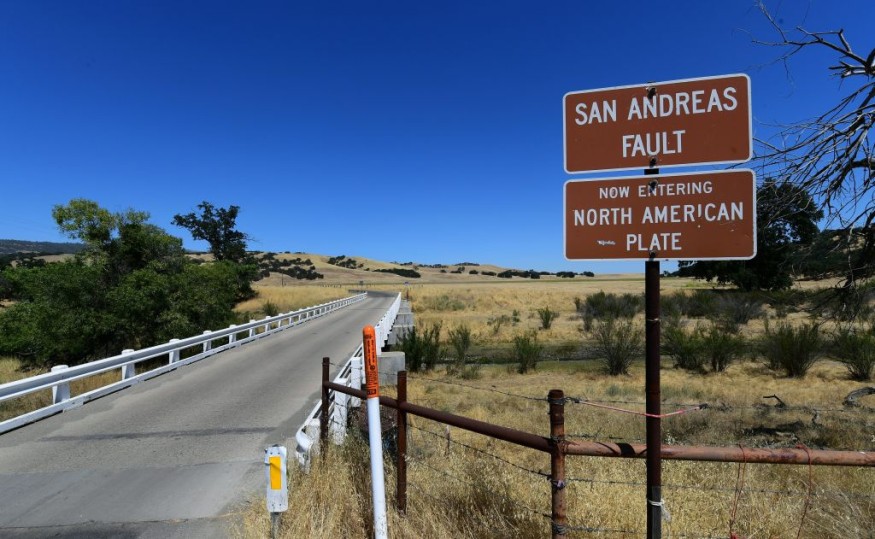
Studies have shown that the San Andreas fault system (SAFS) consists of over a dozen faults that accommodate motion between the North American and Pacific Plates.
The transform boundary initiated about 30 million years ago when a spreading ridge separating the Pacific and Farallon Plates intersected with the North American continental crust near what is now Los Angeles, California.
Scientists said that the SAFS grew bilaterally along the continental margin, contributing to the breakup of the Farallon plate, with the surviving pieces named the Juan de Fuca Plate to the north and the Cocos and Rivera Plates to the south.
Moreover, as it grew some 1300 km in length, the fault system stepped inland, incorporating a swath of the North American Plate that now reaches 200 km into the western United States and Mexico, before stepping back to the Rivera triple junction along the Gulf of California.
At present, the SAFS roughly mimics the shape of the California coast. Due to differences in the fault geometry, fault activity, and seismicity, the SAFS is typically split into three main sections: southern, central, and northern.
How Ground Would Shake On The San Andreas Fault
The California Earthquake Authority said that the San Andreas runs deep near and under some of California's most populated areas.
Studies said that cities of Desert Hot Springs, San Bernardino, Wrightwood, Palmdale, Gorman, Frazier Park, Daly City, Point Reyes Station and Bodega Bay rest on the San Andreas fault line.
The Southern San Andreas sliced through Los Angeles County along the north side of the San Gabriel Mountains. Experts said that can cause powerful earthquakes--as big as magnitude 8--that would affect high population communities in Southern California.
Officials said that USGS scenarios project more than 1,800 deaths, and 50,000 injuries due to a major Southern San Andreas fault earthquake.
CoreLogic, a business analysis service, also estimated a Southern San Andreas fault rupture will cause 3.5 million homes to be at risk with $289 billion in reconstruction value.
12 years ago, seismologists already modeled how the ground would shake on the southern San Andreas fault.
Read Also : Seismic Activity on the San Andreas Fault Are Linked to Changes in the Earth's Magnetic Field
Effects Of Earthquake Waves
Engineers and social scientists used that information to estimate the effects of a hypothetical 7.8 quake that strikes the Coachella Valley. The earthquake waves could travel across the whole state of California, leveling older buildings, disrupting roads and severing electric, telephone and water lines.
The incident may also cause hundreds of fires to start while emergency personnel are hampered with the roads out.
Water, electricity and gas lines cross the San Andreas fault in Los Angeles. They may break during the quake and they could remain unfixed for months.
Many retrofitted homes and newer buildings survive the shaking, but many older homes are rendered structurally unusable.
Unfortunately, nothing can prevent a major earthquake from happening. The key to being safe during an earthquake is preparation.
Authorities advised the public to create an earthquake safety plan for themselves and for their loved ones.
They also said families should identify safe places in each room of their homes.
The public should also practice Drop, Cover, and Hold On with each member of the household.
Residents are also advised to make or purchase an earthquake safety kit and have water and snacks available in each room of their homes.
© 2026 NatureWorldNews.com All rights reserved. Do not reproduce without permission.


