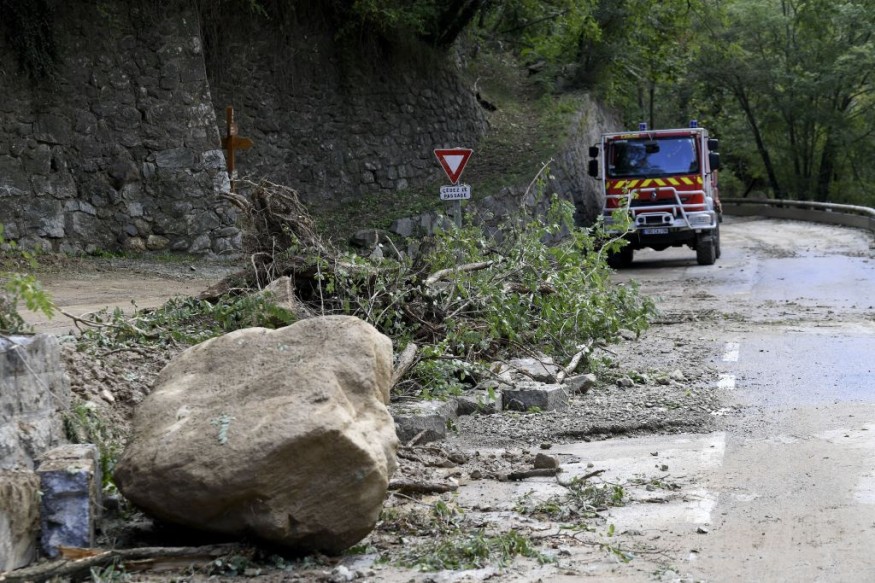
A potent storm from the Gulf of Mexico is expected to bring tornadoes, powerful winds and massive rains over the southeast.
Weather experts said that some of the tornadoes could even be strongly felt over the Florida Peninsula, noting that a number of them may also transpire on Saturday night that may later add to the danger.
Strong Low Pressure Area
Furthermore, they said that the strong low pressure area in the Gulf of Mexico could become more organized before moving ashore in the central portion of Florida.
Severe storms will ignite across much of Florida as well as into parts of southeastern Georgia on Saturday afternoon towards Saturday night.
Meanwhile, residents from areas such as Miami, Orlando, Tampa and Jacksonville could all experience damaging bad weather. They said that there would be a greater risk of flooding rainfall as thunderstorms will pose a risk for damaging wind gusts and tornadoes in Florida.
On the other hand, the effects of tornadoes may be somewhat stronger or perhaps more concentrated in the heavily populated corridor from Hollywood towards the West Palm Beach in Florida, which includes the Miami and Fort Lauderdale areas.
The National Weather Service said that the big weather maker for this weekend would be an intense storm tracking across Florida and up the Southeast coast with likely impacts to travel as well.
Threats For Severe Weather
This storm will bring an array of weather including very heavy rainfall, gusty winds, coastal flooding, and some threat for severe weather from Florida to the Mid-Atlantic states.
The latest rainfall forecast from WPC through Sunday evening has shown potential for widespread two to four inches of rain, with locally higher amounts especially along the Georgia and South Carolina coasts, increasing the threat for flooding and flash flooding.
Some of these rainfall amounts could also approach or exceed daily rainfall records for the middle part of December.
On the other hand, gusty winds and onshore flow will also likely bring coastal flooding along much of the East Coast into early next week.
The low pressure system will deepen as it lifts up the East Coast next Monday and Tuesday as well, past the short range period, with rain and wind impacts moving into the Northeast.
Elsewhere, a couple of fronts tracking from the Plains into the Midwest will focus showers from the Southern Plains or the Gulf Coast northward into the Upper Great Lakes.
Meanwhile, colder air filtering in behind the fronts may bring a period of light to moderate snowfall across the Upper Midwest, with generally only a few inches of accumulation forecast.
Out West, a cold front moving towards California may begin to bring some rain showers to portions of the northern and central California coast by Sunday afternoon.
On the other hand, much of the US this weekend will experience well above average temperatures, with daytime highs 10 to 20 degrees above average across the Western US, Northern tier, and into the Northeast.
Meteorologists said that the risk heading into Sunday will depend on where the area of low pressure tracks.
A track farther inland could put more of the eastern Carolinas at risk for severe thunderstorms, while a track farther east near or off the coast could limit severe potential to immediate coastal locations.
Related Article : Multiple Extreme Weather Events to Ravage the American Southeast
© 2026 NatureWorldNews.com All rights reserved. Do not reproduce without permission.


