Weather experts said that a system could form before hurricane season comes to an end.
The 2023 Atlantic hurricane season will run until November 30 and meteorologists warned that there is a chance for a storm to form in the central part of the basin prior to the season's official end.
They said that the season would close out with a higher number of named storms compared to the historical average.
Tropical Development
According to weather experts, the zone where tropical development is most likely to develop through the weekend would be in the southwest of the Azores in the open Atlantic Ocean.
Meteorologists said that an area of low pressure is expected to develop in the central Atlantic later this week, and it may take on tropical or subtropical characteristics.
Meanwhile, they said that it would be classified as a tropical or subtropical storm and acquire the name Vince should the low organize and produce maximum sustained winds of at least 39 mph.
They said that a subtropical storm has both tropical and non-tropical characteristics.
According to the weather forecast, the said weather system, regardless of whether it has developed tropically, could eventually approach the Azores late this weekend or early next week.
On the other hand, a close pass to the islands is seen to bring an uptick in downpours and perhaps gusty winds depending on the strength of the system.
Due to the trajectory of the weather system, meteorologists said they do not expect it to approach the United States.
Weather experts said that the 2023 Atlantic Basin Hurricane Forecast, which was issued in March, had worked out well.
The initial forecast predicted four to eight hurricanes, one to three major hurricanes and two to four direct impacts to the US.
As of November 22, the Atlantic basin has released seven hurricanes and three major hurricanes, which are both on par with the 30-year historical average.
To recall, four storms brought direct effects to the United States, including three landfalling systems.
Tropical Storm Harold was the first to strike as it made landfall on Padre Island, Texas, on August 22.
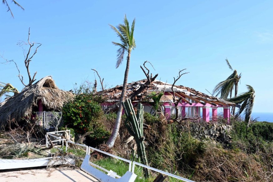
On the other hand, the strongest storm to make landfall in the US this season, which was named as Idalia, crashed ashore in Florida as a powerful Category 4 hurricane one week later.
Furthermore, Tropical Storm Ophelia was the third and final tropical system to directly strike the contiguous US, making landfall in North Carolina on September 22.
Hurricane Lee, meanwhile, made a close brush to the US as it left direct impacts that were felt along the coast of New England. The storm then made landfall in Nova Scotia on September 16.
Read Also : No Direct US Impacts Expected Throughout Remainder Of Atlantic Hurricane Season, Experts Say
El Niño
Some experts attributed the hurricane season this year to El Niño.
They said that in the next hurricane season, an El Niño is less likely, while the sea surface temperatures are still expected to be above average.
El Niño can affect our weather significantly.
Experts said that the warmer waters cause the Pacific jet stream to move south of its neutral position.
With this shift, areas in the northern US and Canada are dryer and warmer than usual, however in the US Gulf Coast and Southeast, these periods are wetter than usual and have increased flooding.
Related Article : 2023 Hurricane Season Nearing Its Peak With Potential Storm Brewing In Eastern Pacific
© 2026 NatureWorldNews.com All rights reserved. Do not reproduce without permission.


