The latest weather forecast showed that heavy rains are likely in the Western US this week, preventing potential fire risks. It will also ease the prolonged dry and drought in the region.
The western US is no stranger to raging wildfires. The warm temperatures, dry vegetation and strong winds will be favorable in the fire concerns.
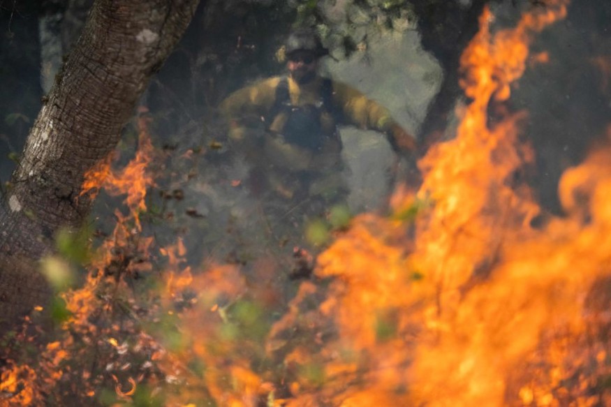
Critical fire risks can cause challenging fires.
Good afternoon, folks. Here's the first of a series of fronts throughout the weekend. Widespread rain & locally breezy winds are expected with this one. Gusts up to 30-40 mph for the North Coast, San Juan Islands, & western Whatcom County are expected into this evening. #wawx pic.twitter.com/XGq6h3tsda
— NWS Seattle (@NWSSeattle) November 9, 2023
In Los Angeles, the forecast revealed that dry conditions will stay this weekend. Homeowners should stay alert for elevated fire conditions. People should also watch out for blowing debris and fire sightings.
Rounds of Storms, Heavy Rain in Western US
In the Pacific Northwest, heavy precipitation has continued in the region. Rainy outlook is also forecasted in Western Washington this late week.
On the other hand, the National Weather Service (NWS) reported that wildfire risks could emerge in Southern California this late week.
Wind gusts can likely reach from 40 to 50 mph with low relative humidity. Ventura and Los Angeles counties are at risk of fire.
According to the latest forecast, the Pacific Ocean moisture will bring flooding rainfall to the Western US.
This November, residents can anticipate heavy precipitation and a snowy outlook, ending the wildfire concerns in the region. The rain is expected to spread over the Great Basin and California.
From November 15 to 17, reports are tracking stormy weather in Western California. Residents can anticipate heavy rain, mountain snow and stronger winds.
Next week, the potential weather dangers are flooding, heavy rains, and travel disruption. The rounds of rain are likely in the following areas:
- Seattle
- Spokane
- Helena
- Boise
- Elko
- Reno
- San Francisco
- Fresno
- San Diego
- Redding
- Medford
- Portland
The challenging heat in California brought significant wildfire concerns in the region. However, the arrival of rain will end the risks of fires.
Nevertheless, homeowners should observe all the fire safety, and be cautious in using flammable materials.
In Seattle, the latest advisory showed of the series of fronts arriving in the city. Residents can anticipate local breeze winds and a rainy outlook. In addition, wind gusts can reach from 30 to 40 mph, including in areas in western Whatcom County, San Juan Islands and North Coast.
The Pacific Storm System: Where Will It Impact?
In addition, the National Weather Service monitors the developments of a Pacific storm system in the Pacifc Northwest. The cold front will bring mountain snow and rain in Oregon and Washington.
A light snow outlook can also emerge in the Northern Rockies this late week. The snow accumulation can reach from one to two feet in higher areas, specifically in Northern Washington Cascades.
Did you know? Quick-moving storm systems can bring brief periods of flooding rainfall or snow.
For more similar stories, don't forget to follow Nature World News.
© 2026 NatureWorldNews.com All rights reserved. Do not reproduce without permission.


