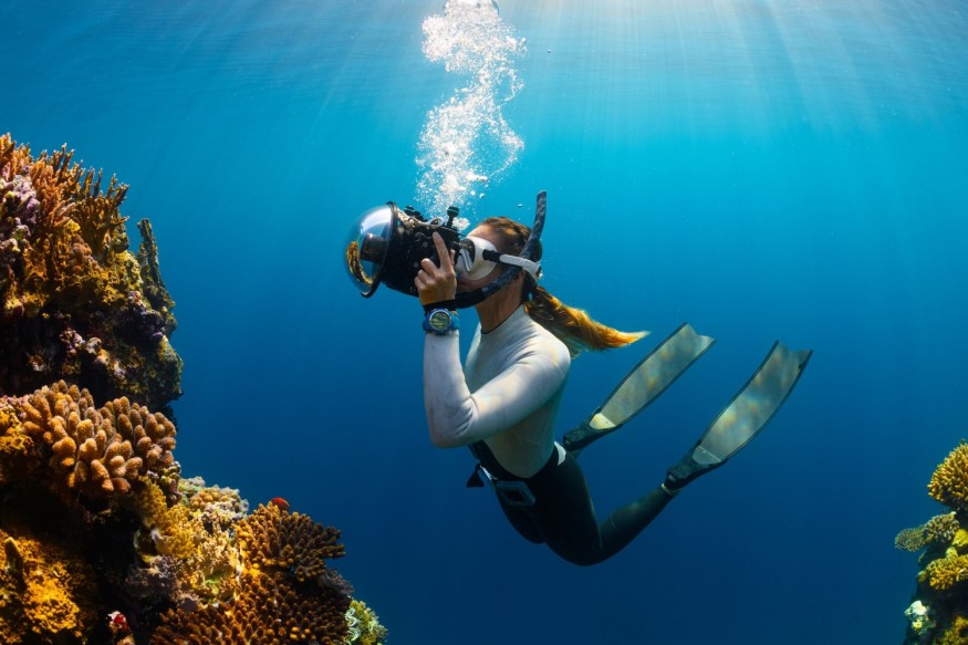
Scientists discovered two coral reefs in immaculate condition off the beaches of Galapagos. The largest one is the size of eight football fields.
Two New Pristine Coral Reefs
Two pristine coral reefs were discovered deep underwater off the coasts of the Galapagos Islands by Schmidt Ocean Institute scientists driving the SuBastian remote-operated vehicle (ROV). The finding was made during an expedition to explore underwater cliff ecosystems, and it resulted in the discovery of two 'new' coral reefs as well as three previously unknown sea mounts.
Eight Football Fields
Dr. Katleen Robert, the leader of the expedition from the Fisheries and Marine Institute of Memorial University of Newfoundland and Labrador, expressed their excitement regarding the mapping data. The larger coral reef measures around 0.5 miles in length, which is equivalent to the size of eight football fields. The smaller one, on the other hand, spans a more modest 0.2 miles.
These newly discovered coral reefs are believed to have existed for thousands of years and host a thriving ecosystem characterized by a diverse range of stony coral species, situated at depths ranging from 0.22 to 0.2 miles below the ocean's surface.
Life on Cacho De Coral, a newly discovered pristine coral reef off the coast of the Galápagos Islands, is thriving.https://t.co/4kbUiT42pB
— Science News (@ScienceNews) October 27, 2023
Robert and the interdisciplinary science team are enthusiastic about how the data collected during the expedition will enhance the understanding of reef ecosystems in the Galapagos and contribute to the management of the Eastern Tropical Pacific Marine Corridor within the Galapagos National Marine Reserve.
Understanding Deep-Sea Habitats
The discovery of these reefs within the biologically significant Galapagos Marine Reserve is expected to assist scientists in better understanding the role that deep-sea habitats play in preserving ocean health. Something difficult to assess when we don't know what's under there.
In addition to exploring deep-sea ecosystems, the expedition team used laser scanning equipment to build high-resolution maps of the area, accurate to 0.08 inches. This will allow scientists to identify species dwelling on the seafloor, which was previously impossible with lower-quality mapping tools.
The initial photographs of two previously unknown seamounts, which were uncovered during the expedition, exhibit exceptional detail, owing to the utilization of a high-resolution mapping technique.
Also Read : 12 Galapagos Native Species of Birds and Turtles Slated for Rewilding in $3.4M Reintroduction Project
Previously, scientists suspected seamounts in the area based on satellite data, now been confirmed.
Danny Rueda Córdova, Galapagos National Park Director, underscores practical uses of this knowledge for ecosystem protection, biodiversity preservation, and resilience to environmental changes.
He asserted that deep-sea ecosystems are significantly influenced by the local geological dynamics. To ensure that the Galapagos remains a symbol of the wonder and significance of nature, research, and mapping are crucial tools.
Galapagos Biodiversity
The Galapagos Islands, situated 600 miles off Ecuador's coast, form the world's second-largest marine reserve, covering 15,350 square miles. This expansive protected area extends 40 nautical miles from the farthest islands. The islands boast remarkable endemism, with 80% of land birds, 90% of reptiles and land mammals, 30% of plants, and 20% of marine species found nowhere else on Earth.
Related Article : Tiny Galapagos Bird Darwin's Flycatcher Battles Extinction as 12 Chicks Hatch This Year
© 2026 NatureWorldNews.com All rights reserved. Do not reproduce without permission.


