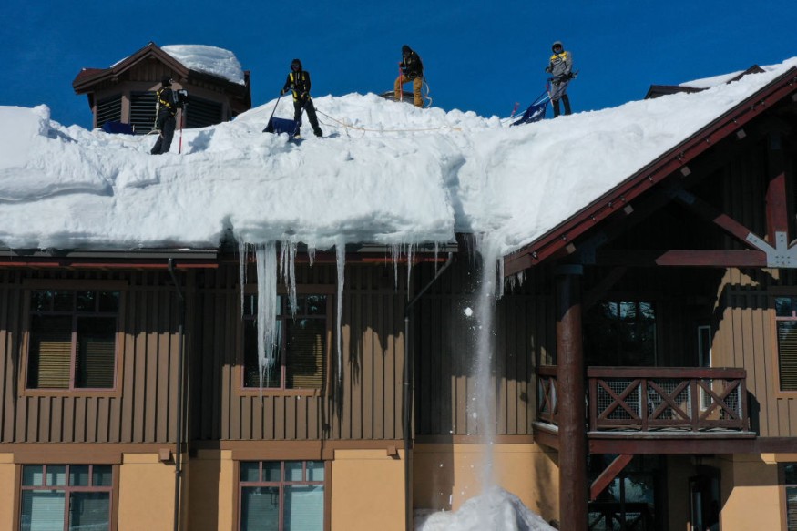
Meteorologists said that more drenching rains and the first round of winter could be expected in the central portion of the United States.
They noted that a surge of cold air would help in instigating a disruptive storm, which will later unleash torrential rains and the first round of winter weather for some locations in the region.
This would include snow and ice potential in the area.

Cold Air, Snowfall
Weather experts said that another surge of cold air across the western US would collide with tropical moisture from the Gulf of Mexico.
This weather system is seen to include some remnants from Otis, which will later allow a storm to develop over the central US this weekend.
Meteorologists warned the public to expect a zone of drenching downpours to expand over the region because a swath of snow and ice unfolded over the northwestern flank.
This will later bring the first winter precipitation of the season towards other locations.
After that, weather experts said that the new zone of wintry precipitation would follow an outbreak of cold air and rounds of heavy snow from the interior Northwest towards the northern Rockies and northern Plains into Thursday night.
They said that as the first storm which unleashes the cold and snow departs, the atmosphere in the region will reload from Friday up to the evening.
Furthermore, weather experts said that a plunge in the jet stream over the West will also persist, making the cold air to blast across the Colorado Rockies on Saturday.
This will also affect the weather over High Plains of northeastern Colorado and southeastern Wyoming to southern Minnesota and northern Wisconsin from Saturday night to Sunday.
Meteorologists said that as the pattern evolves, many areas situated over the Plains and Midwest would experience the coldest air of the season so far this weekend to early next week.
Snowfall will also occur across a nearly 1,000-mile-long stretch of the US from the central Rockies to near the Great Lakes region over the weekend.
This weather phenomenon will bring residents of the Denver metro area its first widespread accumulating snow of the season.
Weather experts said that the accumulations around Denver would range from one to three inches to the east of the city to three to six inches in the foothills to the west.
Read Also : Hurricane Otis To Strike Mexico With Risky, Damaging Flash Floods, Mudslides As Category 5
Otis' Role
Meteorologists said that Hurricane Otis could have had a role over this weather phenomenon.
They said that some tropical moisture associated with former Category 5 Hurricane Otis may be pulled into part of the weekend storm over the central US.
At 400 PM CDT (2100 UTC), meteorologists said that the remnants of Otis were located near latitude 19.1 North, longitude 100.8 West.
The remnants are moving toward the north-northwest near 10 mph (17 km/h) and this general motion is expected to continue tonight.
Otis' maximum sustained winds are near 35 mph (55 km/h) with higher gusts.
On the other hand, the weather system's estimated minimum central pressure is 985 mb (29.09 inches).
Related Article : US Winter Forecast: Storms to Hit Northeast Next Week; Rounds of Snow to Cause Travel Disruptions
Related Video:
© 2026 NatureWorldNews.com All rights reserved. Do not reproduce without permission.


