Flat Earth is an archaic and outdated notion that our planet is simply a plane circle.
However, people from different ancient civilizations thousands of years ago were the first ones to have used a "flat world map" as a guide for them to see and navigate the world they live in during their time.
As the centuries progressed, our understanding of Earth's shape also evolved.
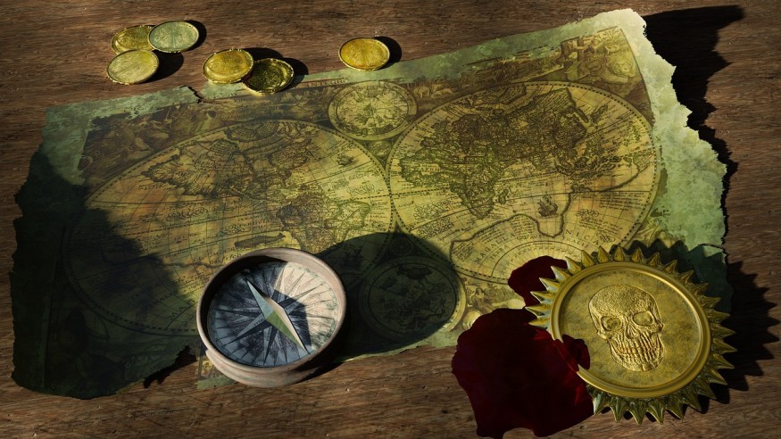
Flat world maps involved a typical outline of our planet today. Although there are some countries, regions, or even continents that are inaccurate, one of the striking features of these ancient maps is that the world seems to have an edge, where a person or a cat could fall off as they say.
This is opposed to globes where one could end where he or she started if the travel is circumnavigated the planet.
The said outline is logical since humans in the dawn of civilization are still gradually navigating how the world looked like, at a time when there are still no Google maps, planes, or even spacecraft that would could what the shape of Earth really looked like.
However, while it has been proven in modern times that the shape of our planet is indeed spherical, there are some who still think the world is flat.
Although flat world maps are a thing of the past, there has been a raging debate ongoing between people who believe the Earth is flat and those who support that the planet's shape is a sphere.
The former category is widely called a "flat Earther" and has alarmingly attracted a growing movement to convince the majority that our rocky planet has an edge.
Flat World Map
While it has been evident that ancient explorers utilized both flat world maps and globes, the latter became only widely utilized until the Age of Exploration in the 15th and 16th centuries, according to the U.S.-based website MOVA Globes.
Still, flat world maps have been around longer, specifically since the time of the Babylonian Civilization from 1894 BC to 539 BC in a location of what is now today modern-day Iraq.
Written in the Akkadian language, the Babylonian flat world map is centered on the Euphrates River, which flows from the north to the south.
The city of Babylon is also shown in the northern half of the map, while the geographical outline of the world remains inaccurate.
Also Read: Trump Team Member Compares Climate Change With Flat-Earth Theory, Continues to Cast Cloud of Fear
Global World Map
During the Age of Exploration, navigators were known for their contribution in terms of constructing and laying out a more accurate map of the world.
This has been the case in 1492 when a German geographer and navigated called Martin Behaim made the earliest globe during his employment with King Joao II of Portugal, according to the University of Cambridge.
The feat was succeeded by voyages from Portuguese and Spanish vessels or armadas that explored unexplored regions of Earth, including the discovery of the Americas by Christopher Columbus in 1492, the Royal Museums Greenwich reported.
The globe map was further developed from flat world maps when Europe further extended its geographical knowledge to the unexplored lands of Asia.
Related Article: Flat Earth: How Bizarre Would Life be if the Earth were Flat?
© 2026 NatureWorldNews.com All rights reserved. Do not reproduce without permission.


