The National Hurricane Center just reported a possible tropical depression in the next two days or so as strengthening system has been identified and a tropical storm has managed to gain some strength on Wednesday.
According to Naples Daily News, chances of tropical development increased to 60 percent over the next 48 hours for low pressure area in the Bay of Campeche at roughly 4 p.m.
Conditions are thereafter expected to hinder as the system moves slowly from the southwestern to the northwest Gulf of Mexico.
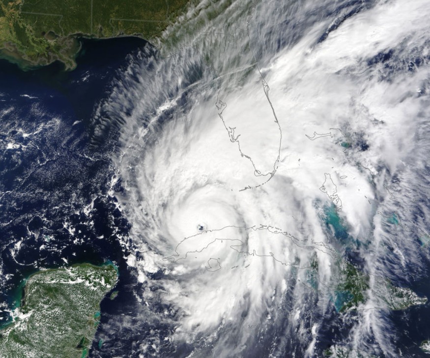
NHC issued advisories for the next storm of the 2022 Atlantic hurricane season named Karl.
Will the System Strengthen Further?
Further development is expected to happen due to favorable environmental conditions, with additional development due to increasing upper-level winds in the southwestern Gulf of Mexico.
AccuWeather reported Karl may turn toward the southwest and make landfall along the south-central coast of Mexico, perhaps not too far from the city of Veracruz late Friday.
The disturbance was also set to be investigated by Air Force Reserve reconnaissance aircraft.
While it is early to determine the possible impacts, portions of southern Mexico are forecast to experience heavy rainfalls, gusty winds, and dangerous surf during the next couple of days.
The government of Mexico issued a tropical storm watch for the coast of Mexico as tropical storm conditions are possible within the area through Thursday afternoon.
Forecasters will continue to monitor the tropics and advises all residents to be prepared during what's expected to be an active hurricane season.
Karl is the 11th named storm of the Atlantic hurricane season - a season that runs from June 1 through Nov. 30.
Peak of Hurricane Season
The hurricane season seems to had gotten off a quiet start, although the peak of the season is Sept. 10., with the most activity happening between mid-August and mid-October.
As of 9:43 AM, Wednesday, no weather watches or warnings are issued by the National Weather Service, however, meteorologists warned that leftover energy from Julia could lead to the formation of Karl in the southwestern Gulf of Mexico as well as another tropical storm off the Pacific coast of Mexico.
Hurricane Julia is now the second tropical storm of the season to survive the trip from the Atlantic to the Pacific Ocean, and has since dissipated.
This is the first time on record that two storms have crossed over in one season.
Forecasters also warned that Karl could gain some additional strength in the short term as it passes the southwestern Gulf of Mexico system.
"There is also a bubble of high pressure in the upper portion of the atmosphere right over the top of the zone, which could allow more thunderstorms to erupt and strengthen into Thursday," said AccuWeather Chief On-Air Meteorologist Bernie Rayno.
Another factor to tropical development in this area are the water temperatures.
"Surface water temperatures are well into the 80s F (27-31 C) throughout the Gulf of Mexico, and that will help with development in the short term," said AccuWeather Meteorologist Alex DaSilva.
Another factor for strengthening Karl are winds surrounding its circulation.
Related article : Severe Thunderstorms Could Unleash in Midwest
© 2026 NatureWorldNews.com All rights reserved. Do not reproduce without permission.


