A frontal system will make its way to the Pacific Northwest, bring relatively colder temperatures once again, according to US weather authorities.
Rainfall will develop over parts the region, from the Northwest and into the Northern Rockies earlier part of the upcoming week.
Mixed precipitation is also possible in higher elevations by Tuesday, October 11, especially over portions of the Northern Rockies and Northern High Plains.
There is a potential flooding due to the forecasted showers, particularly in low-lying areas.
The Northwest outlook is part of a multi-weather forecast for other regions of the country, including the Southwest US, Midwest, and the Northeast.
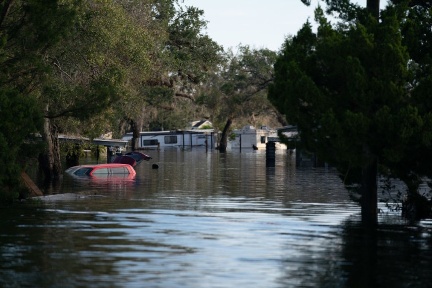
In general, a calmer weather is expected in the coming days following the trail of destruction left behind by Hurricane Ian in Florida and its nearby states from late September until early October.
NWS Multi-Weather Forecast

The National Weather Service (NWS) - Weather Prediction Center (WPC) at 3:46 p.m. EDT (local time) on Sunday, October 9, forecasted that a frontal system will move onshore the Pacific Northwest by Monday evening, October 10.
This will bring relief to arid weather and hot temperatures, bringing an end to warm and dry conditions.
The NWS - WPC also said there is a pleasant weather in the eastern third of the US as temperatures climb closer to average.
This relative cooldown was forecasted before since a cold front moved toward offshore the US East Coast, bringing November-like or late fall weather in the Northeast, which experienced a recent Nor'easter and temporary warm weather last week.
In addition, the US weather agency reports the continuance of a "very tranquil weather weekend" with no significant hazards and storm systems.
However, there is an anticipated threat of localized heavy to excessive rainfall from portions of Arizona and New Mexico into west Texas, as well the southern High Plains until Monday.
Furthermore, the agency issued a warning on a powerful storm that impacted parts of southern Alaska.
Previous forecasts revealed that a storm over the Bering Sea will impact the state, causing coastal flooding due to storm surges, heavy rainfall, and strong winds.
Wake of Hurricane Ian
The multi-weather forecast comes days after Hurricane Ian struck the Southeast US when it made landfall in southwestern Florida on September 28, bringing widespread destruction due to torrential rain and flooding, as well as damaging winds.
The storm also led to massive power outages and unprecedented evacuations spearheaded by Florida Governor Ron DeSantis prior to its landfall.
The death toll has reached over 100, including at least 117 fatalities in Florida, according to local officials, as cited by ABC News.
The hurricane also made its second landfall on September 30 in South Carolina, with no reported deaths.
However, its neighboring North Carolina state incurred five storm-related deaths, wherein three involved vehicular accidents and another involved an outage-related carbon monoxide poisoning from a generator.
The cause of the fifth death remains unclear.
Many of Ian's victims were older adults who drowned from the floodwaters, according to The New York Times.
© 2026 NatureWorldNews.com All rights reserved. Do not reproduce without permission.


