Drought relief and flooding risks for the Northeast are both coming. While some regions of the Northeast have had isolated downpours during the last week, the drought conditions there are still worsening. Even for places that have not recently had rain, more widespread wet weather may be on the horizon, but this rain may also increase the risk of floods.
Extreme Weather Forecast
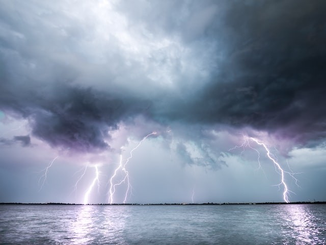
The same storm that caused tornadoes south of Davenport, Iowa, and severe weather throughout the Midwest on Saturday started moving towards the Ohio Valley and eastern Great Lakes on Sunday. While no new tornadoes were confirmed, the Storm Prediction Center received over a dozen reports of hail and destructive winds on Sunday, many of which were in Ohio and Upstate New York.
A portion of the impacted region has been severely damaged by rain in August, particularly in Ohio, Kentucky, and West Virginia. Cincinnati has already recorded more than 6 inches of rain this month and received 4.74 inches in the last two days. Just a week ago, 4.44 inches of rain fell in less than 48 hours in Charleston, West Virginia, causing a state of emergency and necessitating water rescue operations. End-of-July rainfall in southeast Kentucky caused unprecedented floods that claimed the lives of at least 37 people.
According to Nicole LoBiondo of AccuWeather, "with the recent heavy rainfall, these locations might be more susceptible to flooding with thunderstorms through Sunday night."
Expecting Storm
Some of the Ohio Valley is expected to rain well into Monday, although most of the storm will go east.
According to LoBiondo, "the steadiest rain is predicted to follow the storm's trajectory over the inner Northeast."
However, mid-Atlantic and southern New England are expected to have strong showers and thunderstorms that last to the coast.
Weather Trajectory
Monday will probably be the rainier day along the Interstate 95 corridor in the big metro cities like Washington, D.C., Philadelphia, and New York City. Rainfall on Monday might cause localized flash floods and ponding on roads, especially in low-lying regions. In addition, drivers should be aware of decreased visibility during heavy downpours. As dusk approaches, the downpours may move from Hartford, Connecticut, to Boston.
Many parts of the region could need the rain, even though it might hamper early-week outdoor plans or some youngsters' first days of school. According to the most recent U.S. data, just over 50% of the Northeast area is now unusually dry based on the eport from the Drought Monitor, published last Thursday.
Southern New England is the region of the nation that needs rain the most. While 75% of Massachusetts is experiencing a severe or exceptional drought, an overwhelming 99% of Rhode Island is experiencing an extreme drought.
How much rain these New England regions could get to assist with the ongoing drought will depend on the storm's exact path into Tuesday.
What Comes Next
The rainy trend will finally end, providing opportunities for individuals who want to spend time outside in the final few weeks of summer. The Northeast is likely to have dryer weather for the second half of the week.
Related Article : Exposure to Major Disasters Can Cause Long-Term Mental Health Problems
For more climate and weather updates, don't forget to follow Nature World News!
© 2026 NatureWorldNews.com All rights reserved. Do not reproduce without permission.


