A tornado touchdown occurred in the Greater Chicago Area, Illinois, during a severe weather at the start of the weekend.
The National Weather Service (NWS) confirmed the direct tornado hit in South Naperville, Illinois, on the morning of Saturday, July 23.
The metropolitan and suburban areas of Chicago also experienced flooded roads due to heavy rainfall.
There were no immediate reports of deaths or injuries from the twister and inclement weather in general.
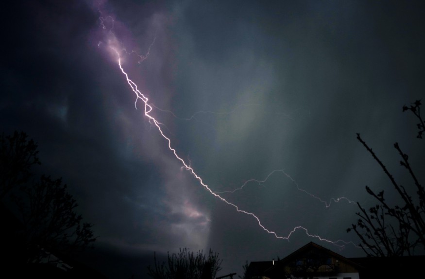
However, the twister caused damage in southern Naperville as a "tornado-producing" storm pummeled through the Greater Chicago Area and its suburbs.
In Chicago, NWS employees were forced to take shelter during the storm's approach.
In addition, floodwaters caused relative travel disruption and power outages in over 100 homes earlier on Saturday.
While the tornado threat has dissipated, the NWS reportedly said that the severe thunderstorm threat continues in parts of Illinois and northwest Indiana.
It also urged the public to largely remain inside and stay away from windows.
The occurrence of tornadoes or windstorms during a severe thunderstorm is common. Still, US weather authorities have emphasized the occurrence of such storms can vary in intensity measured under the Enhanced Fujita (EF) scale.
The United States have witnessed similar events of varying degree as witnessed in previous tornado outbreaks in recent years.
Chicago Tornado Touchdown
Prior to the confirmation, an initial storm survey indicated a tornado touched down in South Naperville on Saturday.
This is based on recorded damage and a downstream tornadic debris signature seen on the radar, according to NWS meteorologists, as cited by NBC Chicago.
The NWS said a tornado "likely" touched down in the said suburban area, estimating its starting route to be from the shopping plaza, situated in the northeast corner of route 59 and 95th Street in Naperville.
However, assessment of its exact trajectory is still ongoing at the time of reporting.
Torrential Rain and Strong Winds
Heavy rain and damaging winds were also some of the major threats produced by the severe thunderstorm on Saturday.
NBC Chicago noted that parts of Cook and Will counties experienced flooded roadways ad viaducts. Wind gusts of up to 60 miles per hour triggered tornado warnings for both counties.
Flash flooding were also reported in some of the underpasses from Oak Park to roadways in Hoffman Estates.
Moreover, a golf ball-sized hail fell in the area and a funnel cloud near Lexington, Illinois, according to AccuWeather.
Beyond the Chicago area, the severe storm also lashed out in Indiana and Ohio amid its journey across the Midwest.
Further Weather Forecast
The NWS' Weather Prediction Center (WPC) said that parts of southern Minnesota to western Michigan will be at risk from the adverse weather until Saturday evening.
Meanwhile, NWS' Storm Prediction Center (SPC) said that, in addition to the mentioned at risk states, the following severe thunderstorm risk are possible in the locations provided below, within and in their surroundings areas:
- Northwestern Ohio
- Northern Indiana
- Northern Illinois
- Southern Wisconsin
- Eastern Nebraska
- Iowa
While the US is currently in its summer season, which is around June to September, severe storm-triggered tornadoes have continued after the North American country's spring season.
Related Article : US Meteorologist Issues Warning for Tornado 'Threat Area' Expansion
© 2026 NatureWorldNews.com All rights reserved. Do not reproduce without permission.


