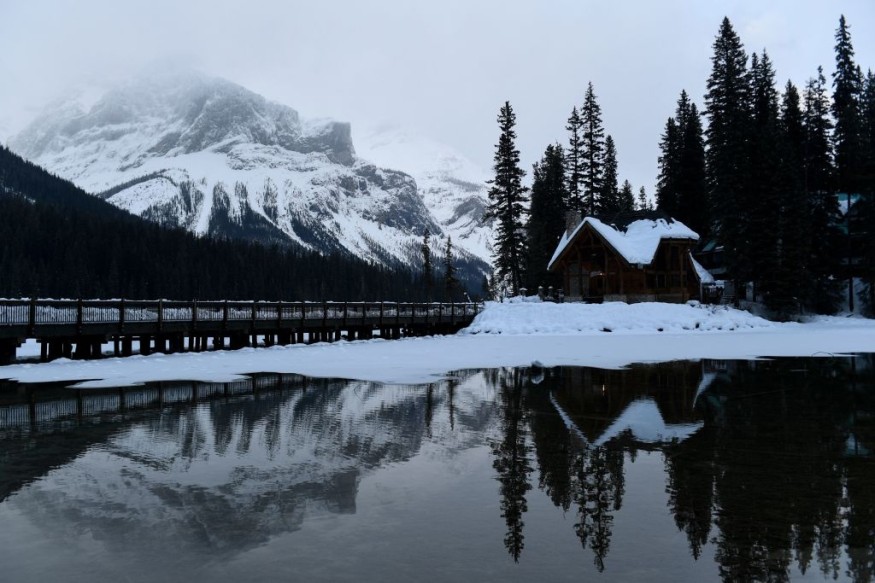
Flood risk for British Columbia, Canada, continues to increase as of Wednesday, June 8. as a potential major natural disaster is being forecasted in the province.
The B.C. River Forecast Centre (RFC) reportedly warned the B.C. flood risk still poses a threat as B.C. mountain snowpack skyrockets way above-average levels.
The potential threat pertains to continuous accumulation of snowpack, which entailed that snowmelt at this time of the year should have taken place already, which is already far from its deadline.
The delayed snowmelt is posing a high chance of snowmelt flooding and overland flooding as Canada's summer season normally takes place from June to September.
Since May, the B.C. RFC, along with meteorologists and hydrologists, have been on high alert.
This is due to the fact that the snowpacks, ice, and frozen water from the winter season should have melted in the province during the spring season from March to May.
With the snow chunks still intact and growing, local authorities fear that hot temperatures and even rainfall could trigger widespread ice melting and lead to an abrupt, simultaneous flooding.
The risk puts communities near inland bodies of water at risk, as well as low-lying areas in the southwestern Canadian province.
B.C. Flood Risk
A large portion of mountain snow in B.C. has not yet melted for several weeks.
In a report of the B.C. RFC on June 1, snowpack level has increased by 165% beyond the normal level across the province, as cited by Global News.
The flood monitoring agency stated that around half of the accumulated snowpack should already melted by June 1.
However, snowpack melting has been long overdue by two to four weeks due to the cold weather in April and May.
The B.C. RFC says the following areas in the province are at most risk from the potential snowmelt floods:
- Upper Fraser
- Cariboo Mountains
- North Thompson
- South Thompson
- Lower Fraser
- Upper Columbia
- The Kootenays
- Similkameen
B.C. Mountain Snowpack
On May 15, the B.C. mountain snowpack reached its highest level within a decade, according to the snow survey bulletin of the B.C. RFC.
It was during this time experts hinted of the possibility that a major flooding may occur by June 30 should a prolonged heat wave occur in the province.
B.C. RFC hydrologist Jonathan Boyd issued the flood risk warning across the province as early as May 10.
The high snowpack was a result of persistent cold temperatures, alarming both meteorologists and hydrologists alike regarding the looming danger.
Snowmelt Flooding of 1894 and 1948
Anti-flood structures of B.C. have significantly improved since previous flood incidents.
However, a number of dikes are still "inadequate" to brace a flood similar to the magnitude of the 1894 Fraser River flood, according to the Vancouver Sun.
In June 1894, Canada's largest flood in recorded history took place as water levels from the Mission
Bridge started to overflow caused by snowmelt flooding.
More than 50 years later, a similar flooding occurred at the Fraser River in the spring of 1948; when its water levels overflowed along its banks and destroyed dikes.
The 1948 Fraser River flood resulted in the evacuation of around 16,000 people, displacement of 1,500 others, destruction or damage of 2,300 houses, and resulted in material damage worth $150 million at that time.
© 2026 NatureWorldNews.com All rights reserved. Do not reproduce without permission.


