According to forecasters, this year's hurricane season is hectic. For the second year in a row, a natural phenomenon called La Niña will significantly impact winter weather patterns.
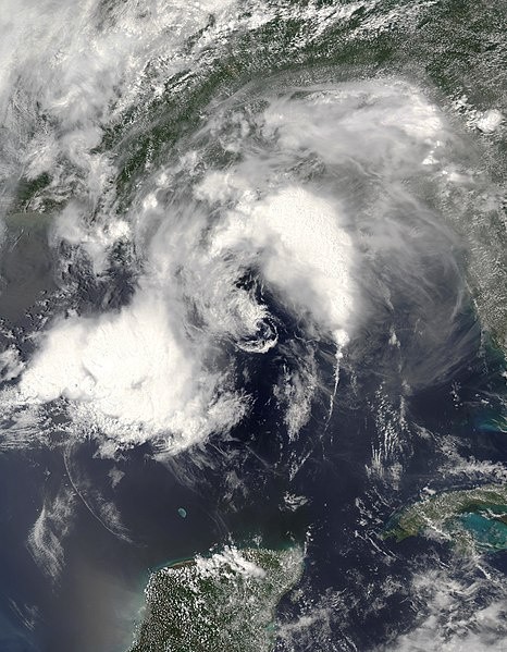
Hurricane Season Incoming
The official prognosis for the hurricane season, which runs from June to November, has been issued by scientists from NOAA, the US weather agency. It supports projections from Colorado State University and the Met Office in the United Kingdom.
Australia proclaims the start of the La Niña phenomena.
This points to an unusually high number of named storms, hurricanes, and major hurricanes. The 2022 hurricane season is expected to be the eighth straight above-average hurricane season.
Also Read : Extreme Heat Waves Can Cause More Power Outages
Inevitable Hurricanes
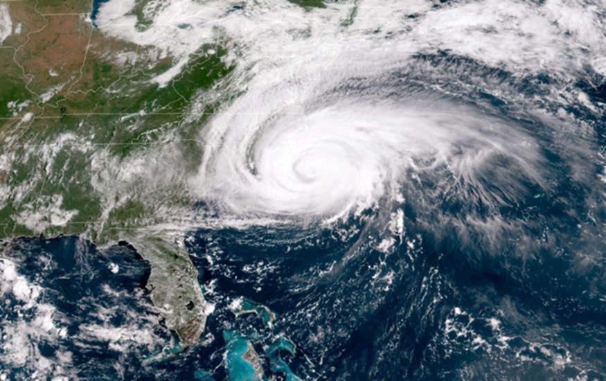
According to Colorado State University forecasters, at least one significant hurricane (category three or higher) is expected to impact the continental US coast. A 53 percent likelihood is the long-term average.
Forecasts are based on various factors, but the El Niño Southern Oscillation is one of the most crucial (ENSO).
This is a naturally occurring weather pattern in the eastern Pacific that has global consequences for the weather.
Compared to Average Temperatures
A warmer-than-average El Niño, cooler-than-average La Niña, and a neutral phase refer to trade winds and sea surface temperature changes in this region.
Because La Niña lowers wind shear - the abrupt shift in wind speed and/or direction - high in the sky, tropical storms may form more easily.
Warmer than average sea surface temperatures in the Atlantic Ocean and the Caribbean Sea, weaker tropical Atlantic trade winds, and an accelerated west African monsoon, according to NOAA forecasts, contribute to the heightened activity.
The previous two winters have had La Niña, a double-dip in the meteorological profession. This has only happened eight times since records began in 1950.
According to NOAA and the Australian Bureau of Meteorology projections, La Niña has a roughly 60% chance of continuing or becoming somewhat neutral during the hurricane season.
Some computer models even predict a neutral or La Niña-like climate during the northern hemisphere winter, an extremely uncommon 'triple-dip.'
This has only happened twice in the history of records. It will affect the hurricane season in 2023, and the effects of La Niña on other weather patterns throughout the planet will have far-reaching ramifications.
La Niña has had a big role in this year's severe floods in eastern Australia and the severity of California's prolonged drought.
While a triple-dip La Niña appears to be a possibility, the accuracy of ENSO projections in the Spring is debatable. Thus it is far from guaranteed.
With another busy season on the way, many people wonder if climate change is to blame.
Because the naturally occurring El Niño Southern Oscillation pattern is the major driving factor for tropical storm and hurricane development, experts believe climate change is unlikely to have a role in an increase in storms.
Fuel for Storms
Warmer than usual sea surface temperatures in the Atlantic and Caribbean, on the other hand, might influence storm development.
More fuel is available for a storm to grow and strengthen quickly as the waters warm. According to the IPCC, there is "high confidence" that the fraction of intense tropical storms will increase as global warming continues.
Related Article : Exposure to Major Disasters Can Cause Long-Term Mental Health Problems
For more climate and weather updates, don't forget to follow Nature World News!
© 2026 NatureWorldNews.com All rights reserved. Do not reproduce without permission.


