According to the India Meteorological Department (IMD), the severe depression over the northern Andaman Sea is expected to build into a cyclonic storm on Tuesday and pass the Thandwe coast in the early hours of Wednesday.
The weather system deepened from a depression to a depressed state over the north Andaman Sea and was traveling north at a pace of 13 kmph on Monday,
At 5:30 p.m. IST, it was located approximately 120 km east-northeast of Mayabundar in the Andaman Islands and 570 km south-southwest of Thandwe coast in Myanmar.
Cyclone Asani strikes Andaman on Sunday
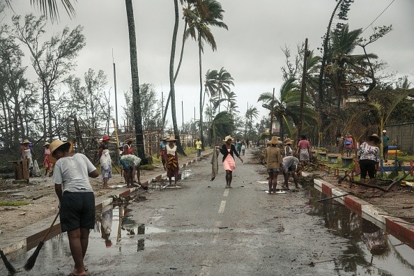
After the archipelago experienced torrential rain and gusty winds as a consequence of Cyclone Asani, people living in coastal areas of the Andaman and Nicobar Islands were relocated to protection on Sunday, according to officials via Business Standard.
Inter-island transit activities, as well as those to and from Chennai and Visakhapatnam, have now been halted, according to officials, and fishers have been urged not to enter the sea as the year's first tropical cyclone storm hits the archipelago.
The National Disaster Response Force (NDRF) has sent around 150 workers, and six assistance camps have formed in various regions of the islands, according to authorities.
They encourage people not to fear since the government is taking every precaution to safeguard their safety as Disaster Management Secretary Pankaj Kumar said.
A total of 68 NDRF troops have been dispatched in Port Blair, and 25 each in Diglipur, Rangat, and Hutbay regions.
According to the official, the North and Middle Andaman and South Andaman districts, as well as Port Blair, are suffering heavy rain and severe gusts.
Anjali Sehrawat, Deputy Commissioner of the North and Middle Andaman District, stated that NDRF troops are evacuating residents residing in coastal regions to safe locations.
Cyclone Asani is expected to proceed along and off the Andaman Islands, towards Myanmar and the south coast of Bangladesh, according to India Meteorological Department Director General Mrutyunjay Mohapatra.
He stated unequivocally that the cyclone will not make landfall in the Andaman Islands.
On Monday, the weather system is forecast to strengthen first into a deep depression and then into a cyclonic storm.
Also Read : Tropical Cyclone Batsirai Leaves Trail of Destruction in Madagascar, Claims Twenty Lives
Cyclone strikes near Coco Island on the noon
The depression, which is moving at up to 40 miles per hour, is expected to build into a tropical cyclone over the following 24 hours and make landfall near Coco Island around noon today, according to the Department of Meteorology and Hydrology (DMH) at 7 am, as per Eleven Myanmar.
The current stage of the depression is colored orange, and it will advance towards the beaches of Myanmar.
At 05:30 hours MST today, the depression is positioned at Latitude 11.6 degrees North and Longitude 93.5 degrees East.
The depression is expected to travel north along and off the Andaman and Nicobar Islands, intensifying into a deep depression over the following 12 hours and a cyclonic storm over the next 24 hours.
According to the DMH, it may lead to near Coco Island at noon today, near Hainggyikyun, Ayeyawady Region in the morning at 22.3.2022, and near Rakhine shore in the morning at 23.3.2022, Myanmar.
© 2026 NatureWorldNews.com All rights reserved. Do not reproduce without permission.


