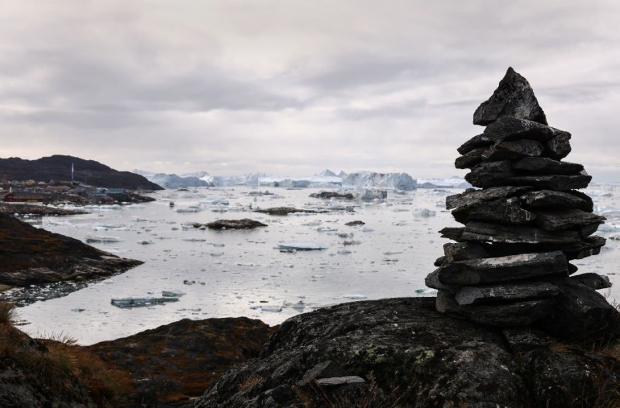
Arctic Ocean winter sea ice has lost one-third of its volume in just over 18 years, and may have been underestimated. The most recent figures show a drop of around 16 percent in just three years.
In a new research, scientists use years of satellite data to estimate both ice thickness and the depth of snow on top of the Artic, revealing a "frightening rate" of melting due to human-induced greenhouse gas emissions, according to ScienceAlert.
Furthermore, the new data shows that the ice persisting in the Arctic for over several years was 1.6 feet thinner in 2021 than in 2019 - as it is being replaced with less permanent seasonal sea ice that easily melts every summer.
Response of Polar Sea Ice to Warming Climate
"Arctic snow depth, sea ice thickness and volume are three very challenging measurements to obtain," says polar scientist Ron Kwok, from the University of Washington.
"The key takeaway for me is the remarkable loss of Arctic winter sea ice volume - one-third of the winter ice volume lost over just 18 years - that accompanied a widely reported loss of old, thick Arctic sea ice and decline in end-of-summer ice extent."
The data gathered from the ICESat-2 and radar CryoSat-2 satellites orbiting Earth and published in Geophysical Research Letters was the first to use satellite-derived information to study the critical variables for assessing the evolution and response of Arctic sea ice to climate change - ice thickness and volume.
Multiyear ice known to be thicker and more resistant to melting than seasonal ice had been depleting at an alarming rate, affecting overall thickness and volume of Arctic sea ice.
In the context of 18-year satellite record
Using time-varying snow depth over sea ice for computing snow loading has been a limiting factor in the accuracy of sea ice thickness estimates, the study says. The study combines LiDAR technology of ICESat-2 (launched three years ago), and the radar technology of CryoSat-2, both detecting objects (in this case snow and ice) based on the reflections being bounced back at them.
Without this data, the study would not be made possible because measuring ice thickness can be "tricky". The study suggests that scientists have been overestimating sea ice thickness by up to 20 percent or 20 centimeters (0.7 feet) in the past using only climate records.
"We weren't really expecting to see this decline, for the ice to be this much thinner in just three short years," says polar scientist Sahra Kacimi, from the Jet Propulsion Laboratory at the California Institute of Technology. Looking 18 years back, researchers estimate that the Arctic lost around 6,000 cubic kilometers (1,439 cubic miles) of winter ice volume across that time span.
Less ice significantly disrupts ecosystems, alters pivotal ocean currents which we rely on, and accelerates climate change around us. The most efficient way to address this concern is to reduce fossil fuel emissions.
"Current models predict that by the mid-century we can expect ice-free summers in the Arctic, when the older ice, thick enough to survive the melt season, is gone," says Kacimi.
© 2026 NatureWorldNews.com All rights reserved. Do not reproduce without permission.


