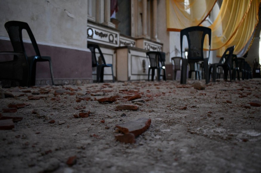
A major earthquake and tsunami simulation will occur tomorrow morning, providing forecasters and first responders with a full simulation and exercise to prepare them for genuine future danger
While most people think of tsunamis as a threat from the Pacific, officials are preparing for the prospect of similar seismic activity in the Atlantic basin, which might endanger the United States. Over the following two weeks, separate drills will be held on the East Coast and the Caribbean.

Drill
The practice on Thursday is unrelated to the continuing swarm of earthquakes that have hit Puerto Rico and surrounding seas in the Caribbean. In January, the first CaribeWave '22 webinars took place.
Officials will exercise a hypothetical event that might cause substantial damage and a basin-wide tsunami on March 10 as part of the CaribeWave '22 Tsunami Warning System Exercise. The Pacific Tsunami Warning Center will launch the simulation at 9 a.m. ET. A magnitude 8.0 earthquake off the Dominican Republic's southern coast is included in the simulation.
While officials participating in the CaribeWave '22 simulations will share earthquake and tsunami advisory and warning information, none of it should be made public. In the unlikely case that test messages end up in public channels, the following text will be added:
Large-Scale Exercise
A few days later, on March 23, a major earthquake and tsunami exercise would take place. Unlike CaribeWave '22, which focuses on Caribbean preparedness, the LANTEX 22 practice on March 23 is intended to prepare the remainder of the North American Coast for tsunami threats.
At 8 a.m. ET on March 23, the LANTEX 22 drill will replicate an even stronger 8.8 earthquake in the North Atlantic. The quake, which struck at a depth of 9 miles at 36.0 North and 15.0 West, may send a potentially deadly tsunami crashing towards the East Coasts of the United States and Canada.
Raising Awareness
A Tsunami Warning was "issued" for coastal areas of Newfoundland and Labrador from Cape Ray, Newfoundland to Cape Chidley, Labrador in last year's LANTEX21 drill. At the same time, a Tsunami Advisory was "issued" for Florida, Georgia, South Carolina, North Carolina, Virginia, Maryland, Delaware, New Jersey, New York, Connecticut, Rhode Island, Massachusetts, New Hampshire, Maine, New Brunswick, Nova Scotia, and the rest of the North.
These earthquake and tsunami drills will raise awareness of the potential hazards to these places, helping local leaders and communities be prepared in the event of a real threat. (If an actual tsunami danger arises during the exercise's duration, the exercise will be called off.)
Tsunamis are massive waves that occur under the sea due to earthquakes or volcanic eruptions. Tsunami waves do not grow in height as they go further into the ocean. However, when the waves approach the shore, the size of the waves rises as the depth of the water decreases.
The speed of tsunami waves is determined by the depth of the water rather than the distance from the wave's source. Tsunami waves may move as rapidly as jet jets across deep water, stopping down only when they reach shallow water. While tsunamis are frequently referred to as tidal waves, oceanographers advise against using this term because tides have nothing to do with these massive waves.
The National Oceanic and Atmospheric Administration (NOAA) and the United States Department of Commerce The National Tsunami Hazard Mitigation Program (NTHMP) is laying the groundwork for the LANTEX21 tsunami exercise is being held to aid tsunami preparedness efforts throughout the Atlantic.
The NOAA/NWS National Tsunami Warning Center (NTWC) will send out simulated tsunami alarm bulletins for the eastern coasts of Canada and the United States and Puerto Rico, and the US/British Virgin Islands during this exercise.
Disaster-Prone Area
The region where the simulation will occur is no stranger to powerful tsunami-producing earthquakes. The Africa-Eurasia plate border exists from the Mid-Atlantic ocean ridge triple junction at the Azores eastward to the Strait of Gibraltar.
At a pace of around 4 mm/year, the Africa plate spins counterclockwise relative to the Eurasia plate. Several big magnitude earthquakes have occurred here, although the movement is rather sluggish compared to other active plate borders located across the world.
There was a 7.6 magnitude earthquake there in 1755; another 7.6 magnitude earthquake happened here in 1816, and a 7.9 magnitude earthquake struck there in 1969.
During practice there last year, a Tornado Warning signal was unintentionally sent to hundreds of thousands of people via emergency cell phone notifications. People should not be scared by any test messages; similarly to CaribeWave'22, LANTEX22 signals should be designated as a drill and simply a test message.
While authorities prepare their systems and communication tactics for these drills, residents living near the coast should familiarize themselves with tsunami advisories or warnings that may be issued in their area if an actual tsunami threat emerges.
Related Article ': Silent' Tsunamis Come Along With Recent Intense Volcanic Eruptions
For similar news, don't forget to follow Nature World News!
© 2026 NatureWorldNews.com All rights reserved. Do not reproduce without permission.


