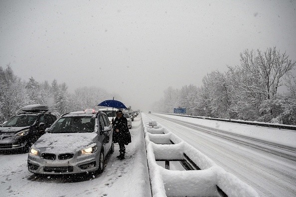
NOAA has released an updated version of its white Christmas climatology, or a possibility there will be an inch of snow on the ground on Dec. 25 in any particular year. The updated version was released on Friday. This might be fresh snow falling on the day of Christmas or snow still blanketing places as a result of a recent storm.
Odds of White Christmas Dreams Turning into Reality
Data from over 15,000 meteorological stations throughout the contiguous United States was reviewed by experts to indicate that white Christmas fantasies are more likely to come true this year than last year, according to Accuweather.
Generally, meteorologists use 30-year averages to get a sense of the current environment in a location, including when snow typically falls. To calculate these averages, previous years' weather data had to be taken into account. But as of this year, data from 1991 to 2020 has been taken into account as well.
The 1991-2020 Climate Normals are the latest three-decade averages of multiple climatological observations, NOAA said in its news statement.
It was earlier this year that National Oceanic and Atmospheric Administration (NOAA) revealed revised average snowfall probabilities in late December, but in light of Christmas, NOAA has given an updated look at these possibilities.
Regions Where There Are Almost No Chance For Snow
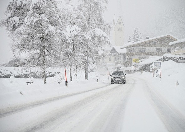
A white Christmas is still a possibility for certain locations, such as California's coast and Gulf Coast states, where there is little possibility of seeing snow on the ground on December 25th.
Similarly, the intermountain West, the mountains of New England, and sections of the Upper Midwest were also expected to have a white Christmas.
Experts at NOAA say that the odds of a white Christmas across the middle Plains, Midwest, and portions of the Northeast have plummeted by as much as 10%. However, new snow might still fall in time for Christmas in places like Chicago, St. Louis, Detroit, and Indianapolis.
Snowfall was more common in the Great Basin, the northern Plains, and a portion of the Rocky Mountains on Christmas Day.
Denver's chances of seeing a white Christmas plummeted by 6.3 percent, the worst reduction of any major U.S. city, according to new 30-year averages. Boston, Philadelphia, and Washington, D.C. all had a little decrease in December 25 snowfall chances, while New York City saw a slight increase.
Versions of the White Christmas Map
"While the map shows the historical probability that a snow depth of at least 1 inch will be observed on Dec. 25, the actual conditions in any year may vary widely from these because the weather patterns present will determine the snow on the ground or snowfall on Christmas Day," NOAA explained.
While climate change may not be at the root of every change of the white Christmas climatology, it did have some impact, according to NOAA's latest statement.
In light of long-term warming, it isn't unexpected that the 1981-2010 version of the white Christmas map differs somewhat from the 1991-2020 version.
For more news, updates about snow and similar topics don't forget to follow Nature World News!
© 2026 NatureWorldNews.com All rights reserved. Do not reproduce without permission.


