A powerful cross-country storm will unleash dangerous weather late this week and into the weekend, particularly throughout the western and central portions of the country, where an unprecedented autumn heatwave and a relatively calm weather pattern prevailed earlier in the month.
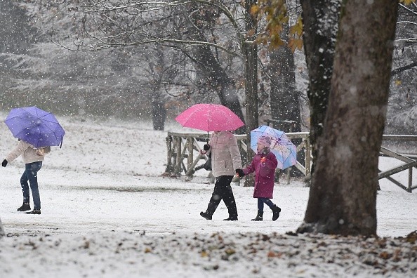
Heavy Snow of the Season
No bomb cyclone is expected to form, but the storm will be powerful enough to send the first significant snow of the season to several mountain ranges in the West, such as the Colorado Rockies and the Wasatch Range, according to Accuweather.
Heavy snow in the Wasatch Range and Rockies will likely hinder traffic along I-25, I-70, and I-80 in sections of Utah, Colorado, and Wyoming late Thursday into early Friday. Forecasters advise cross-country shipping and transportation companies to use a southern route if possible.
The snow will be a huge help to the ski sector, which has struggled without it this season. When the snow melts later in the winter and spring, the winter precipitation will help the drought. The U.S. Drought Monitor reported severe to extreme drought conditions in Colorado and Utah as of early December.
The storm might solve the problem of Denver and Salt Lake City's snow droughts, with 1-3 inches expected in both cities. Accumulating snow will come in Denver, ending the city's record-breaking streak of snow-free days. From March 5 to October 25, 1887, it didn't snow for 235 days in a row. As of Dec. 7, the 2021 season had the latest first measurable snowfall on record.
Snowfall in the Sierra Nevada is expected to range from a few inches to over a foot. On Thursday, drivers on Interstate 80 near Donner Pass, California, may face slippery conditions and delays. Snowfall in northern Arizona's mountains may reach several inches.
Areas Gusty Winds and Rain Showers Are Expected
In the Southwest, where it's too warm for snow, strong gusts and rain showers are anticipated from Colorado and Nevada on Thursday, through Arizona Thursday night, and New Mexico Friday.
Even when it doesn't rain, strong gusts may blow dust everywhere. From the California deserts to southern Nevada, Arizona, and New Mexico, crosswind gusts of 30-50 mph are possible Thursday and Friday.
It is expected that a wide band of heavy snow will move northeastward from eastern Wyoming and northern Colorado to northern Michigan as the storm leaves the Rockies.
From early Friday to early Saturday, a 1,000-mile region of the Central states may get 6-12 inches of snow, according to Buckingham. The storm's path will define where the snow band forms and forecasts may move it north or south in the following days.
Possible Flooding Rain
Friday night and Saturday night, gusty winds may cause blowing and drifting snow throughout sections of the central and northern Plains, Buckingham said.
As the storm moves across the Midwest, temperatures will vary greatly. The storm's southern and eastern flanks are anticipated to be warmer and rainier than Minneapolis, which might wind up in a snow zone. While temperatures in Minneapolis will be in the 20s and 30s F on Friday, St. Louis will have highs in the 70s, breaking the daily record of 73 established in 1889.
On Friday night and into Saturday morning, AccuWeather Senior Meteorologist Brett Anderson predicts strong, gusty thunderstorms from Texas and Louisiana through Missouri, Illinois, and Indiana.
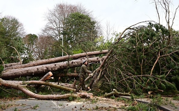
From Friday night to Saturday, as the storm's cold front moves eastward through the Great Lakes and Ohio and Tennessee valleys, the possibility of severe winds, flooding rain, and even isolated tornadoes increases.
Related Article : Severe Thunderstorms Ripped Across Southern United States, Prompting Tornado Warnings
For more news, updates about storms and similar topics don't forget to follow Nature World News!
© 2026 NatureWorldNews.com All rights reserved. Do not reproduce without permission.


