In November, the Interstate-95 corridor had fleeting snowfall opportunities, including a stray flake or two, but nothing significant. It appears that December will start in the same way. However, meteorologists predict that there may be another chance for snowfall in several of the coastal Northeast's main cities by early next week, depending on how certain variables come together.
Weather Patterns
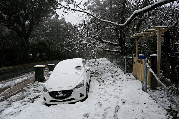
Despite a significantly colder-than-average weather pattern, which has included Alberta clipper storms in recent days, most of the coastal Northeast has avoided collecting snow this season. Due to snow showers in certain areas, the clippers have created scattered trace quantities of snow. On Tuesday, a clipper storm sought to accomplish precisely that.
More clipper storms are expected through the end of the week, but the jet stream is expected to pull northward, reducing the odds of snowfall.
In the aftermath of a clipper storm Friday, a larger blast of cold air will plunge southward from Canada into the Northeast states, compared to the cold shoots that will come before it.
Related Article : Some States Will Experience Non-Winterlike Conditions as Temperature Rises During Winter Season
Cold Blast

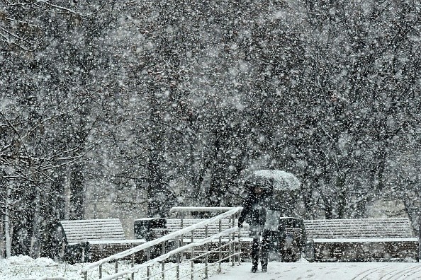
Later this weekend and early next week, that cold blast will set in action a pattern shift that might lead to the development of a winter storm. Forecasters are looking at a variety of possibilities.
"Over the Great Lakes, a severe southerly dip in the jet stream is predicted to form, and how far south that dip happens may influence the trajectory of another storm," AccuWeather Chief On-Air Meteorologist Bernie Rayno said.
Jet Stream
If the jet stream dips toward the Ohio Valley on Sunday, a storm could form and move through the lower mid-Atlantic coast before settling just south of New England.
"The biggest possibility for considerable accumulating snow from Sunday to Monday would be in the central Appalachians and maybe in areas about north and west of I-95 in the upper mid-Atlantic and New England regions," Senior Meteorologist Bob Smerbeck noted.
Along the shore, drenching rain or a period of rain is still expected.
If the jet stream does not descend as far to the south, the storm will most likely track to the north, limiting the possibility of snow along the I-95 corridor.
"Any accumulating snow may be limited to locations in northern New York state and northwestern New England due to a modest dip in the jet stream," Smerbeck added. As a cold front linked with the storm swings through from Sunday to Monday, areas farther south may get rain showers, some of which might change to snow showers, he added.
Anyone wondering why the first measurable snowfall is taking so long to arrive should know that the expected first date of measurable snowfall for many of the main cities from the nation's capital northward along the East Coast is not until mid-December.
Atlantic Temperatures
At this time of year, the temperatures of the Atlantic Ocean waters are the major reason snowfall in many coastal sections of the I-95 corridor occurs late into December rather than earlier. Water can keep reasonably warm even when below-freezing air blows over it for a lengthy period of time because it loses heat considerably more slowly than air and land.
Early this week, Atlantic Ocean water temperatures varied from the upper 40s F off the eastern coast of New England to the mid-50s F off much of the mid-Atlantic coast, all of which were several degrees above average.
For more news the environment, don't forget to follow Nature World News!
© 2026 NatureWorldNews.com All rights reserved. Do not reproduce without permission.


