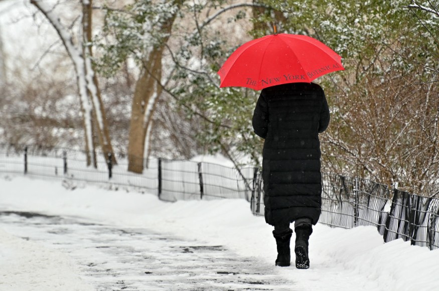
An intense warmth will grab the nation's middle sections just in time for meteorological winter to begin on December 1, resulting in a weather pattern that will be far from winterlike.
As the warmth rises over the central United States, temperatures will surge much above average, reaching as high as 40 degrees in some regions, may be setting new highs. As Denver endures an unprecedented snow drought, the warm pattern will persist, and experts warn a localized wind anomaly might exacerbate the temperature spike in a few locations.
Spreading Warmth
Warmth will spread eastward from the High Plains to the Mississippi Valley through Thursday. Much of the country's center will be at least 5-10 degrees above average by Wednesday. Parts of the northern High Plains, from Wyoming to the Fakotas and Montana, will be significantly warmer than usual, with much of the region averaging 10-20 degrees above average each day through Wednesday. Temperatures might rise much higher in certain areas, such as Great Falls, breaking daily high-temperature records.
Temperatures in the 30s and 40s are common for the end of November throughout most northern and central Plains. At the end of November, usual high temperatures in Great Falls and Billings, Montana, and Cheyenne, Wyoming, are around 40 degrees Fahrenheit. In much of the Dakotas, average high temperatures are in the 30s. In November, highs in the 50s are expected in areas like Wichita, Kansas, Oklahoma City, and St. Louis.
Related Article : Winter May Start with a Bang in the Eastern Plains as a Blizzard Forms
High Temperature

Through midweek, high temperatures will be in the 60s from Denver to Great Falls, with some areas reaching 70 degrees. Denver might break its daily record high temperatures on Wednesday and Thursday, kicking off December. On Wednesday, the record to beat in Denver is 73, and on Thursday, the record is 74, which was set in 1885. This comes at a time when Denver is already suffering from a record-breaking snow dearth.
On Thursday, the high temperature in Valentine, Nebraska, is expected to reach 75 degrees, although the typical high temperature is only 39 degrees. Not only will the high be almost 35 degrees above average, but it is also likely to shatter the existing day record high of 1 degree set on December 2. The previous high temperature was 74 degrees Fahrenheit, which was attained in 1998.
"There should be a few good days to spend some time outside across much of the Plains," said Meteorologist Dan Pydynowski. "Residents may have a chance to put up lights or decorations for the holidays, or just get out for a walk and enjoy some milder temperatures before the winter cold inevitably sets in."
Chinook Winds
While it may be a pleasant few days to get out and enjoy the warmer temperatures throughout most of the Plains, some areas may also have severe winds to cope with. As a pair of disturbances slip through the Canadian Prairies to the north, breezy weather can expand across the northern Plains. However, the greatest winds will be found in the eastern slopes of the Rocky Mountains, from Montana to Alberta, where a phenomenon known as Chinook winds will be present.
"Chinook winds occur when relatively mild and moist air from the Pacific flows straight over the Rockies, 'wringing out' all of the moisture as rain and snow over the mountains, and then descending as dry air down the other side of the mountain range, accelerating down the mountain slopes and creating ferocious winds at times," explained Senior Meteorologist Brett Anderson.
Another feature of Chinook winds, according to Anderson, is the remarkable warmth they may bring. As the air descends, it warms, causing substantial temperature jumps in towns along the eastern slopes of the Rockies in a short amount of time. Chinook winds are similar to Santa Ana winds, which generate hot, dry conditions that may spread wildfires in Southern California.
Chinook winds are to blame for the world's quickest temperature rise, which happened on January 22, 1943, at Spearfish, South Dakota. As Chinook winds kicked up, the temperature soared from 4 below zero to 45 degrees, a 49-degree swing in two minutes. The temperature reached 54 degrees Fahrenheit a little over an hour later before the Chinook winds abruptly halted. In only 27 minutes after the winds ceased, the temperature dropped to 4 degrees below zero Fahrenheit, a 58-degree drop.
While such drastic shifts are unlikely this week, Chinook winds could still help some areas east of the Rockies set daily high temperatures records.
Temporary Drop
On Saturday, a clipper that passed over the Great Lakes delivered a temporary drop to the Midwest on Sunday, but temperatures quickly rebounded on Monday. After a day with high temperatures around 50 degrees on Sunday, temperatures in St. Louis recovered to around 60 degrees on Monday.
Forecasters believe a dramatic change is coming later this week, with the possibility of a strong surge of Arctic air replacing the warmth by the weekend.
For more news the environment, don't forget to follow Nature World News!
© 2026 NatureWorldNews.com All rights reserved. Do not reproduce without permission.


