The hurricane season's peak is off to a quick start, and AccuWeather meteorologists are monitoring several tropical features in the Atlantic basin that could possibly develop in days to come. They are keeping the weather maps occupied if nothing else.
Tropical Wave
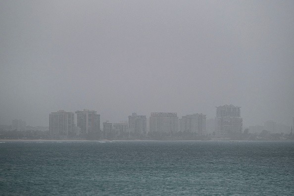
AccuWeather forecasters were keeping an eye on three other tropical waves as of Tuesday. And these waves could become the upcoming named system in the Atlantic basin. One of the three was situated over the Caribbean Sea, while the remaining two were over the Atlantic Ocean's open waters.
Alex Sosnowski, an AccuWeather Senior Meteorologist said: "As of Tuesday, a tropical feature over the Caribbean is of the most immediate concern for impacts to land, life, and property. However, Sosnowski noted, the system was "looking poorly organized and may not take shape until the latter part of the week or this weekend."
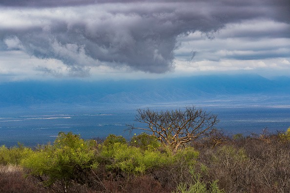
In other places over the Atlantic, the skies are filled with activity and not only of the tropical variety. In recent days, great amounts of Saharan dust have been rising off the northwest coast of Africa, and some even got to South Florida over the weekend, bringing about milky sunsets.
Tuesday's satellite imagery showed clouds with dust in the two regions where tropical activity is brewing.
Tropical Activity
Concerning that tropical activity, Sosnowski also highlighted two other features that are distant from over the Atlantic are brewing but will also see some atmospheric obstacles to deal with before reaching tropical storm force and thereby be identified with a name.
Any out of the three could possibly become the tropical storm that will be named next in the basin. Ida, then Julian and Kate are the next names on the 2021 Atlantic basin list.
Out of those tropical features, one is around 800 miles southeast of Bermuda and proceeding northwestward. The specific time the cold front will sweep through the western Atlantic will dictate how near this tropical low can get to Bermuda.
Potential Tropical Depression
Sosnowski explained that this feature has the best potential to develop into a tropical depression or storm in 48 hours, but it is well-established in dry, dusty air, which will hinder tropical development.
As of early Wednesday morning, the other Atlantic Ocean's tropical wave was situated southwest of the Cabo Verde Islands - several hundred miles. The location of the tropical wave, nearly close to the equator, could contribute to its chances of strengthening.
"The current problem with this easternmost feature is how close it is to the equator. In this part of the ocean, several other physical forces, in addition to nearby dry air, make strengthening less likely unless it is able to drift hundreds of miles northward." Sosnowski added.
For more news, updates about tropical systems and similar topics don't forget to follow Nature World News!
© 2026 NatureWorldNews.com All rights reserved. Do not reproduce without permission.


