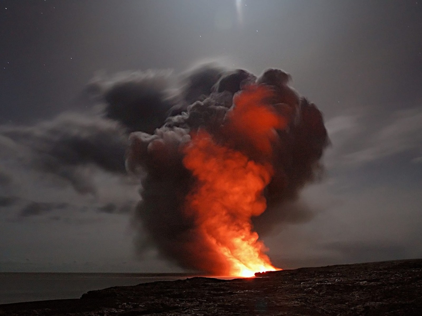
Already worn down by this summer's record-breaking heat, flash floods, and wildfires, Americans will be subjected to much more extreme weather in the following decades as the planet accelerates toward irreversible climate change.

The United Nations' Intergovernmental Panel on Climate Change released a study this week that predicts a cascade of disasters as the world's incapacity to reduce greenhouse gas emissions approaches a critical point.

More flooding, fires, and severe weather swings are on the way, posing a threat to houses across the United States.

Unaware Americans

However, few Americans are aware that they are at risk.

Several experts told USA TODAY that the federal government overestimated the threat of some of the worst climate-related disasters by relying on obsolete data and neglecting to account for the consequences of a warming world.

According to new research by the charity First Street Foundation, approximately 6 million more homes and commercial structures are in danger of flooding than are indicated on the Federal Emergency Management Agency's floodplain maps.

Similarly, according to the First Street Foundation, more properties are at risk of wildfire than current USDA Forest Service predictions.

"No one from the government is attempting to inform you what your risk is," said Matthew Eby, executive director of the First Street Foundation. "FEMA was created to manage the national flood insurance program, which is quite different than communicating danger to someone. The Forest Service is attempting to figure out how to manage forests, not to warn you about the risk of flames in your neighborhood."

Related Article: Storm Anxiety: How to Handle Extreme Weather Phobias During Hurricane Season

Free Risk Assessment

The First Street Foundation is one of a few private groups that currently provides homeowners with free risk assessment tools to help them estimate their chances of suffering a flood, fire, or other climate-related danger. Its Flood Factor tool, released last year, uses a scale of 1 to 10 to evaluate current and future flood risks.

In 2021, the organization also aims to release a wildfire risk assessment tool.

ClimateCheck

ClimateCheck, another company, offers a similar service that indicates a property's present and future risk of encountering various climatic hazards such as floods, fire, heat, drought, and storms. It has a scale of one to one hundred. In addition, ClimateCheck and the First Street Foundation have collaborated with real estate platforms to have their scores included in house listings.

While the tools are beneficial to homeowners and homebuyers, they also reveal a country in peril. Experts say they also show a decades-long blunder in climate planning and policy at many levels of government across the country. They also raise new issues about who would foot the price for billions of dollars to preserve neighborhoods.

"The final concern is who is going to pay and how we are going to pay," said A.R. Siders, a professor at the University of Delaware's Disaster Research Center.

FEMA Struggles

Since the National Flood Insurance Program's establishment 50 years ago, FEMA has struggled to keep reliable flood maps.

Its maps indicate whether a property is located within or outside of a flood risk zone. If they have a federally backed mortgage, that inside must obtain flood insurance. Coverage is optional for people who are outside.

However, the maps can be obsolete, overlook lower-priority locations, and be vulnerable to political interference throughout the revision process, according to Eric Tate, a professor at the University of Iowa. He created flood modeling tools as a FEMA contractor early in his career.

Also Read: 2050 Earth Map Predicts Our Gloomy Future Brought by Climate Change

For more climate and weather updates, don't forget to follow Nature World News!