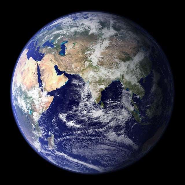
A new interactive map depicts the anticipated impact of climate change and industrial growth on the Earth's surface, providing a sobering forecast of how fragile our world will be by 2050. In addition, Esri's Living Atlas includes a new global land cover map for 2050 that uses satellite images and other data to provide a look into the next three decades.
Understanding Changes
According to Esri, "understanding how our world has changed might give insight into constructing a more sustainable and successful future." "We can make fundamental predictions and estimate future growth trends by studying past global land cover data and watching change over time."
As a consequence of the partnership between Clark Labs at Clark University and Esri, a new collection of maps has been created. First, to demonstrate how various areas of land are used, they analyzed decades of satellite observation data from the European Space Agency's Climate Change Initiative. Next, they built a vulnerability model to bake into the Living Atlas by tracking changes from 2010 to 2018.
Showing Vegetative Hotspots
The model shows where natural vegetation - or land cover - might be converted to agriculture and urban lands due to development. Factors including distance to changed regions, infrastructure population numbers, and GDP statistics, as well as bioclimate and geophysical data, are all factored into the algorithm. The generated maps have a resolution of 300 meters.
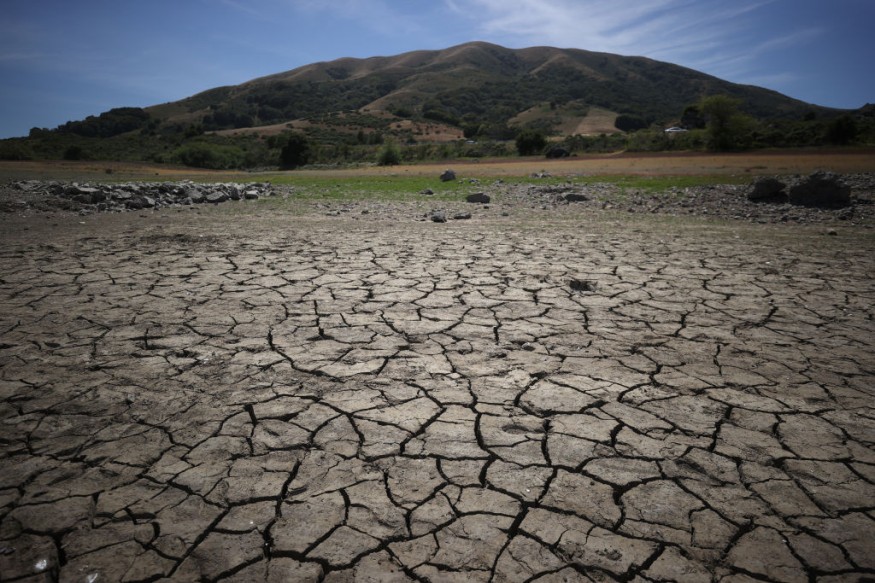
What's really interesting is that you can simply compare how things were in 2018 to how they're expected to be in 2050. Unsurprisingly, further sprawl is expected in many metropolitan areas, with agriculture, grassland, brush, and sparse vegetation replaced by artificial surfaces or structures.
Related Article: NASA Reports Earth Has Been Trapping "Unprecedented" Amount of Heat in Energy Imbalance
Coastal Area Forecasts
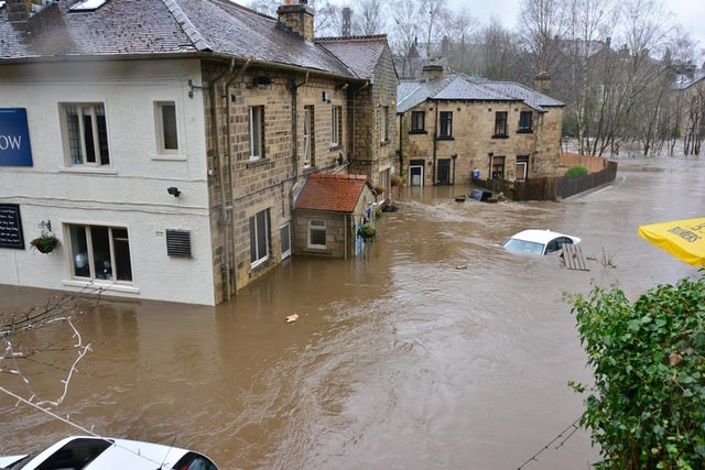
Coastal locations are also more prone to see urbanization and a higher density of artificial surfaces. Given the results of NASA experts' recent study on coastal flooding patterns, this might have dire consequences. In addition, seasonal floods will be considerably more frequent in the 2030s due to rising sea levels due to climate change, mixed with the Moon's natural "wobbly" cycle as it circles the Earth.
Strategic Cooperation
The US National Aeronautics and Space Administration (NASA) and the European Space Agency (ESA) had already declared strategic cooperation on climate change. Part of it will be the free distribution of satellite and other data, which will reveal some of the changes to the globe through decades of NASA and ESA observations.
In addition, improvements in access to trend data and more, like this latest addition to the Living Atlas, are hoped to assist in underlining the seriousness of climate change and global warming.
Forecasting is the practice of predicting or estimating the future using information from the past and present. Forecasting is a strategy or technique for estimating a wide range of future or other operations. Planning for the future is an essential part of preparing for anticipated environmental changes.
Forecasting gives insight into probable future occurrences and their implications for the company. It is possible that it will not lessen the future's problems and uncertainties. It does, however, enhance management's confidence in making crucial decisions.
Also Read : NASA-Approved Facts About Earth
For more Environmental news updates, don't forget to follow Nature World News!
© 2026 NatureWorldNews.com All rights reserved. Do not reproduce without permission.


