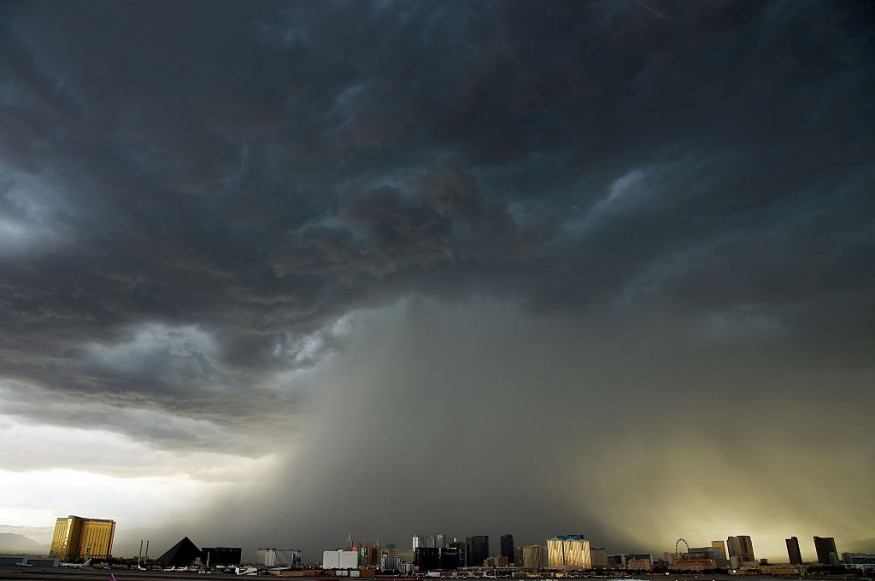
According to AccuWeather meteorologists, thunderstorms with strong winds and flash floods are expected to hit parts of the central and northern Plains as well as the Upper Midwest through Wednesday night.
More Storms
Following the storms that shook parts of the Midwest early Wednesday, Midwesterners may be lulled into a false sense of security, believing that the storms are finished for the day. That, however, will not be the case.
More thunderstorms are likely to erupt throughout the late hours when energy from the Dakotas enters the atmosphere.
"Through Wednesday evening, a rift in the jet stream will bring strong to severe thunderstorms to explode over the Upper Midwest," meteorologist Rob Richards said.
Lack of Sunshine
A lack of sunshine is one element that might reduce the severity of the storms. When the sun shines brightly, the ground heats up more quickly and contributes to rising air. However, the energy in the upper atmosphere is predicted to compensate for the lack of sunlight, and the new storms are expected to be fierce.
"The greatest dangers will be heavy downpours, destructive wind gusts, and hail," Richards said, adding that tornadoes are a possibility.
Twisters
When storms initially erupted in north-central Iowa on Wednesday afternoon, many tornadoes were observed, but it's unknown how much damage the twisters did.
Destructive Winds
By the evening, thunderstorms will redevelop across southern Minnesota and northern Iowa. All risks, including an isolated tornado, will be possible as separate storms form. This second wave of storms should solidify into a line with destructive winds from northern Iowa into Wisconsin and northwestern Illinois during the evening and midnight hours.
A storm-related injury was reported to the National Weather Service at 5 p.m. local time in Sauk County, Wisconsin, along with high gusts, roof damage to a garage, and fell trees.
Extreme Weather Risk
According to the National Weather Service's Storm Prediction Center, parts of Iowa, Minnesota, Wisconsin, and Illinois are in danger of severe weather. On the SPC's five-tier scale, the increased threat level is the third highest. This region, which includes cities like Madison, Wisconsin, and Cedar Rapids, Iowa, has about 4 million people.
The population in the low-risk area is significantly bigger, with more than 15 million people risking severe weather. This region now includes Chicago, Milwaukee, and Minneapolis. However, meteorologists predict that the chance of severe thunderstorms in much of the Chicago region will not begin until after nightfall on Wednesday and that they may not materialize until late Wednesday night from the city's center south. Storms are possible throughout the morning and into the afternoon on Thursday.
Since late last week, Chicago and Milwaukee have been on the northern edge of showers and thunderstorms that have ravaged most of the Great Lakes and Ohio Valley.
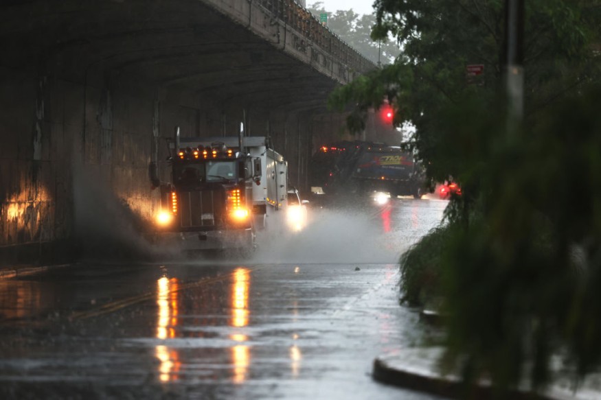
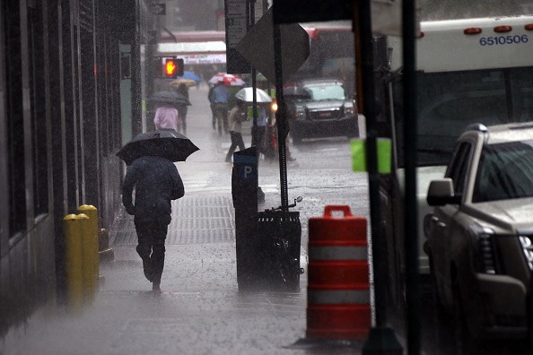
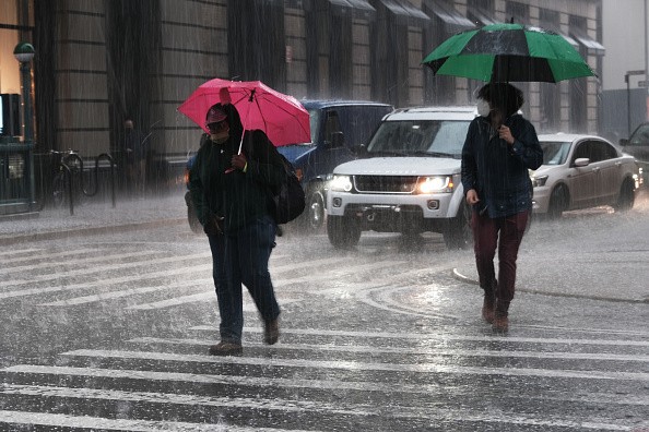
Flooding
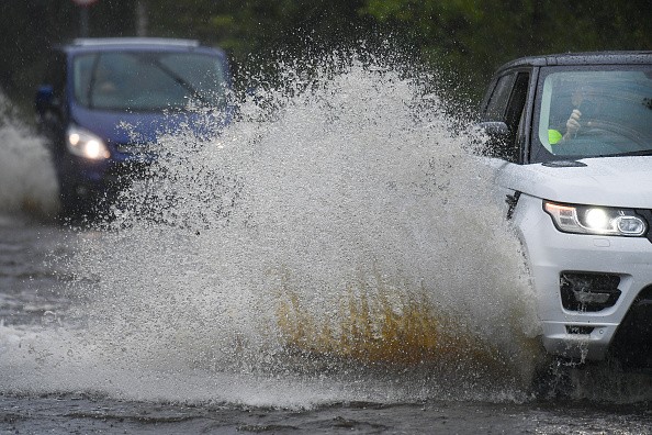
Flooding will become an issue in areas where storms often occur. Although the United States Drought Monitor reports that parts of the Midwest are experiencing a drought, rain may fall too rapidly for the earth to manage. As a result, individuals who live in flood-prone locations must be prepared for flooding and severe weather.
The soil conditions in the north-central United States vary greatly. According to statistics from the drought monitor, certain places over the Ohio and Mississippi valleys are considered appropriately moist, while portions over the northern Plains and Upper Midwest are experiencing severe to exceptional drought.
Severe Storms and Heavy Rains
Severe storms will continue to rumble through the day on Thursday, although the threat may be reduced. Thunderstorms are expected to accompany and precede a cold front moving into the Great Lakes, Ohio Valley, and central Plains. The main worry will be heavy rain, but heavier storms may bring gusty gusts.
Showers and thunderstorms are forecast to move eastward on Friday, and the severe danger is likely to decrease. As high pressure develops over the region, the regions predicted to have severe thunderstorms on Wednesday will likely see a dry end to the week.
For more climate and weather updates, don't forget to follow Nature World News!
© 2026 NatureWorldNews.com All rights reserved. Do not reproduce without permission.


