The AccuWeather team of tropical forecasters is watching out for possible development in days to come as meteorologists expect one chief ingredient for cyclonic activity to become a factor sometime next week.
Homebrew Storms
During the last week of May and the first official week of the Atlantic hurricane season, which started on June 1, conditions have not been favorable for tropical development as average to strong wind shear has been in place over some major areas.
But this is the time of year that tropical forecasters normally place their attention to three primary areas - the southwestern Atlantic, the Gulf of Mexico, and the Caribbean Sea - for what meteorologists often called "homebrew storms," or cyclones that emerge not far off Mexico, U.S., and Central America coasts.
By the middle of next week, wind shear is anticipated to decline across the Gulf of Mexico, southwestern Atlantic and Caribbean.
Wind Shear
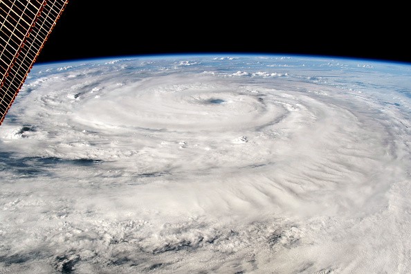
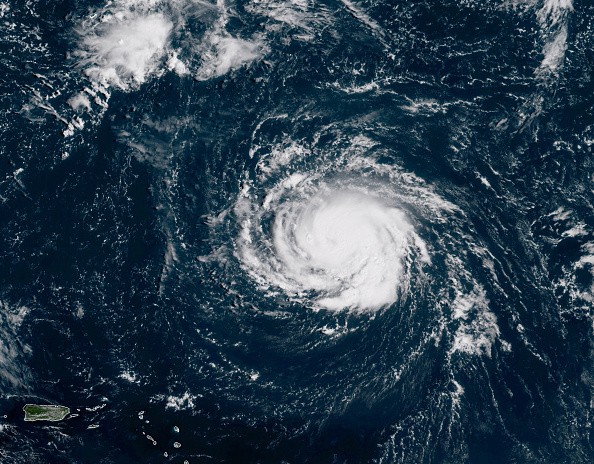
Wind shear is the alter in direction or increase in speed of breezes from close to the sea surface to higher levels in the atmosphere. The presence of wind shear is likely to inhibit tropical development since wind shear restricts thunderstorms from organizing around a region of low pressure.
If thunderstorms are absent, a low-pressure system is not likely to strengthen into a tropical system. Rob Miller, AccuWeather Senior Meteorologist said the decline in wind shear in the middle to latter stages of next week will occur simultaneously with deeper tropical moisture [that] moves into the western Caribbean Sea. Late in the week, a region of thunderstorms may start to develop over the Caribbean Sea or the southern Gulf of Mexico.
Miller added: "Given the right conditions, a region of low pressure could develop into an organized tropical feature." Late next week or next weekend, gyre could develop around the Central America land mass as the wind shear alleviates in this area, according to Miller.
Gyre
According to AccuWeather Senior Meteorologist Alex Sosnowski, a gyre is an extensive area of gradually spinning air that rotates counterclockwise in the Northern Hemisphere. A gyre by itself typically does not generate high winds and severe weather, but it can aid in spawning disturbances that can rapidly increase these conditions.
"These gyres can help in the production of tropical cyclones in both the Atlantic and eastern Pacific basins," Miller said. Development of these showers and thunderstorms over the Pacific Ocean to the south of Mexico will be an alternate scenario, rather than a system on the Caribbean side.
To the north of Puerto Rico, a second region of clouds and thunderstorms may make effort to organize by Thursday or Friday of next week. By next weekend, the feature would then move northward to the east of Bermuda. If something were to develop, it would not be likely to affect land.
Related Article : The Coming Storms: 4 Tropical Systems May Potentially Develop This Week
For more news, updates about tropical developments and similar topics don't forget to follow Nature World News!
© 2026 NatureWorldNews.com All rights reserved. Do not reproduce without permission.


