With the aid of giant sediment cores, scientists have extended Singapore's sea-level record by 10,000 years.The research, released Friday in the journal The Holocene, will assist modelers forecast more accurately how sea level rise will impact the coastline of Singapore in time to come.
Earth's Ice Sheets
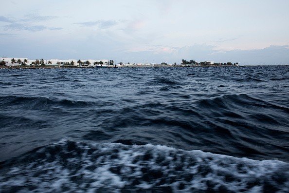
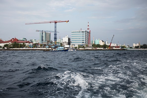
Over a third of the low-lying Asian city-state is lower than 16 feet above sea level. If climate change rapidly continues and Earth's ice sheets continue disintegrating, rising seas could make the densely populated island nation expose to severe coastal flooding. Researchers said the latest discoveries will ultimately aid policy makers when developing mitigation and fortification plans.
To extend the sea-level record of Singapore, scientists collected 131-foot sediment cores from a drill site at Singapore's Marina South. By examining the presence or absence of marine microfossils, scientists had the ability to map changes in sea levels dating back to the genesis of the Holocene, 10,000 years ago.
The Early Holocene Period
Between 10,000 and 7,000 years ago, a period of global warming liquefied Earth's ice sheets rapidly, increasing sea levels some 65 feet. The analysis of ancient sediment layers allowed researchers gain a better understanding of how this period of warming and continuous sea level rise affected Singapore's coastline.
Lead study author Stephen Chua said in a press release: "By dating the sea-level record of Singapore to 10,000 years ago, we retrieved new useful information from the early Holocene period."
Chua, who finalized the study as part of his doctoral work for the Earth Observatory of Singapore at NTU Singapore said: "This is a period that is identified by rapid sea-level rise yet stays poorly understood -- until now."
The Refined Sea-level Record
Chua said this more refined sea-level record also has greater implications, for example, it would bring about more robust and precise local projection of sea-level rise, providing a strategic guide for Singapore as it moves to adjust to climate change. Researchers couldn't just extract sediment cores from any place, they had to be certain to pick a drilling site that featured a long marine mud history and mangrove peat deposits.
In order to do so, scientists studied borehole records put together during infrastructure projects. Co-author Adam Switzer, who leads the Coastal Lab at NTU Singapore's Asian School of the Environment said: "Finding the right location to drill was a great effort."
Switzer said Stephen spent well more than a year going over old information of the borehole from different construction efforts over the last 30 years just to discover records that might be suitable."As a result, our understanding of the geology of the entire region has also dramatically improved," Switzer added. The sediment cores allowed researchers gain a better understanding of what the coastline of Singapore looked like 10,000 years ago.
Related Article : Climate Change: Sea Levels in New York Could Rise 3 Feet by 2100, Displacing Millions
For more news, updates about sea level records and similar topics don't forget to follow Nature World News!
© 2026 NatureWorldNews.com All rights reserved. Do not reproduce without permission.


