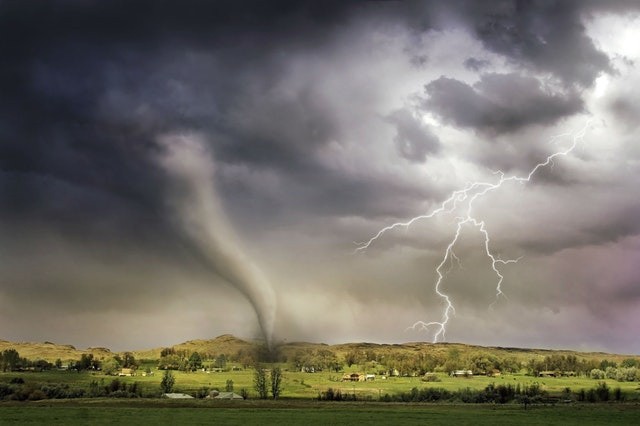
According to the just-released autumn weather outlook by the Bureau of Meteorology (BOM), there could be sights of summer-like weather in the forthcoming season, but what is more likely to happen is more wretched and drought conditions.
Tropical Pacific
The climate driver in La Nina has seen moisture shoved on from the Pacific to east coast states. Though, that situation might not last that much longer.
Dr. Andrew Watkins, BOM senior meteorologist said La Nina has gone past its peak with the tropical Pacific likely to return to ENSO (El Nino Southern Oscillation) conditions during the autumn but it could take until May for La Nina to finally bid Australia farewell.
The result is more than average rainfall across Queensland, New South Wales, parts of South Australia, and eastern Tasmania in March and April and that reduced in May. Most of Western Australia, as well as the Northern Territory and Victoria, should see average rain.
The Hotter Autumn
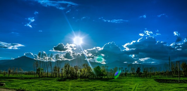
This autumn could be hotter with the mercury rising across Australia's north, southwest Western Australia around Perth, Tasmania, and southern Victoria which include Melbourne. It's all the same for Western Australia which has seen runs of extremely hot temperatures this summer. But parts of New South Wales close to Sydney and the ACT could actually see a slightly cooler than average autumn.
As reported by associate Professor David Holmes from the Monash University Climate Change Communications Hub. He said La Nina can turn climate in Australia on its head. Canberra has shown the strongest autumn daytime warming trend over the past 50 years and Hobart has shown the weakest out of all the capital cities.
Nevertheless, the autumn view advocates Hobart is the capital city with the highest chance of warmer than normal days while Canberra is the city with the highest odds below-average temperatures.
Temperatures Much Closer to Average in 2021
Compared to average temperatures for the past few decades and because of La Nina, we are experiencing temperatures much closer to average in early 2021 but this is a short delay, and we can foresee warming trends to continue into the future. Out of the last 20 autumns, 16 have been warmer than average over Australia and this is large as a result of increasing greenhouse gases in our atmosphere.
Minimum temperatures of Autumn are more likely to be higher than average across most of Australia except for parts of southern West Australia, western and central Southern Australia. For the Northern tropics, Eastern Queensland, Tasmania, and southern Victoria, the chances of warmer nights are greater than 80 percent. It's been a blessing in other ways as the wet summer led to many beaches. The risk of seasonal bushfire is below normal for northern Queensland, eastern and southern Victoria.
The only place where the risk of bushfire has risen above the average are in some places of central coastal Queensland. All that water has also helped increase water shortages in Australia. Most of them are in a healthier condition than this time last year with big increases in NSW.
For more news, update about the waether and similar topics don't forget to follow Nature World News!
© 2026 NatureWorldNews.com All rights reserved. Do not reproduce without permission.


