Above-average temperatures are expected in the Eastern US this week, according to a National Weather Service (NWS) report. Southern High Plains can expect potential dry conditions, causing an elevated fire concern in the region.
In a latest NWS Shortrange Forecast, scattered showers and thunderstorms are expected in the Great Plains. Stormy conditions are likely in the Ohio into Mid-Atlantic. The Storm Prediction Center (SPC) warns of Enhanced Reisk of Severe Thunderstorms in portions of Central Great Plains and eastern Virginia.
The dry conditions could be ideal for outdoor activities and travel. However, homeowners should observe fire bans and avoid outdoor burning, which can cause potential rapid fires. The low relative humidity, strong winds and dry outlook can result in elevated to critical fire risks in parts of the U.S., particularly in Southern High Plains.
Weather Conditions in Eastern US and Southern High Plains
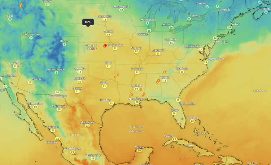
Across the Central and Eastern US, residents can anticipate a well above-average temperatures this week. The forecast warns of Critical Risk of Fire Weather in the Central and Southern High Plains this week, with continued dryline in the region.
The weather conditions can support a potential spread of fires in the Southern Plains through Wednesday. Homeowners should stay alert for primary risks of fire, which dry condtions can fuel. People in fire-prone areas should keep updated with the latest forecasts, and observe widland fire action plans.
The NWS forecast reminds residents to avoid leaving fires attended in brush or dry areas. Tossing lit cigarrettes can potentially spark fires. In addition, having stored water in campfire areas is helpful to extinguish if fires break out. For homeowners, watering lawn and cutting grass will reduce the risks in their communities.
Additionally, the latest weather report raised concerns about the strong winds in parts of the U.S., particularly in Great Plains. It can potentially cause fires and result in power outages. Motorists can experience potential blowing gusts. On Tuesday, the strong gusty winds, with potential localized power outages, are likely in the following areas:
- Rapid City
- North Platte
- Omaha
- Kansas City
- Minneapolis
- Green Bay
- Chicago
- St. Louis
- Little Rock
- Oklahoma City
In Little Rock, residents can anticipate high in the mid 70s to lower 80s in the region. There is a chance of light rain chances in western Arkansas. On Tuesday, homeowners should stay alert for coverage of severe weather.
Weather in Other Parts of US
The latest NWS forecast warns of scattered to severe thunderstorms in the Mid-Atlantic. Meanwhile, moderate to locally heavy snowfall is likely in parts of northern Cascades, Northern and Central Rockies and eastern Great Basin.
The threat of severe storms can produce potential tornadoes and damaging winds in parts of Kansas and Nebraska. Excessive rainfall is likely in southeastern South Dakota and northwestern Iowa.
Related Article : Midwest, Central US Weather Forecast: Stormy Conditions to Bring to Bring Strong Winds, Thunderstorms
For more similar stories, don't forget to follow Nature World News.
© 2026 NatureWorldNews.com All rights reserved. Do not reproduce without permission.


