Weather experts said that waves of storms are expected to bring floods and cause disruptions in the West Coast.
They said that a storm would track onshore on Tuesday and this weather development can bring another round of coastal rain, a corridor of ice and even mountain snow to the region.
Additional Weather Systems
Further, it was forecasted that later in the week and into next week, additional weather systems can affect the West Coast and make for a wet and wintry stretch.
Based on the weather forecast, the first storm on deck early this week will affect the parts of Washington, Oregon, Northern California and Utah throughout Tuesday.
Meanwhile, the locations closer to the coast from Astoria, Oregon, to Eureka, California, will also have daytime highs in the 40s and 50s on Tuesday and Wednesday. Meteorologists said that this condition could result in rounds of rain.
The National Weather Service said that over the Pacific Northwest, offshore low pressure interacting with the stubborn cold Arctic airmass entrenched atop the region will lead to yet another episode of significant freezing rain, which can be felt beginning in the morning.
Officials said this would include the Portland metropolitan area.
It is seen that the rain that propels into the Pacific Northwest from early to midweek can become heavy, leading to localized flooding and transportation delays along areas of routes 12, 20, 26, 30, 101 and 199 and nearby roadways closer to the coast.
So far, Ice Storm Warnings are in effect through tomorrow morning as one quarter to a half inch of ice is expected.
On the other hand, portions of the Cascades into the Northern Rockies will also see significant impacts from the said storm in the form of snow, with authorities saying that 15-28 inches of snow are possible.
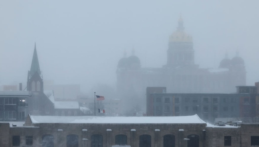
Meteorologists said that one more day of record breaking cold temperatures can be expected across much of the Rockies, Great Plains, and Midwest today with wind chills below minus 30 extending into the middle portion of Mississippi Valley in the morning.
Fortunately, a brief reprieve from the frigid air is expected as the airmass moderates beginning Wednesday, leading to below average but not brutally cold temperatures in its wake.
Read Also : Dangerous Cold in the US Threatens Millions of Americans With Winter Warnings, Cold-Related Health Risk
Snow Accumulations
While the storm will be far from a blockbuster in snow accumulations in the Northeast, it will still produce a broad swath where one to three inches will fall with locally higher amounts.
This time, the accumulating snow will extend through much of the Interstate 95 zone from Virginia to Maine.
However, the break will not last long as another surge of Arctic air reaches the Plains states and Deep South by Thursday to Friday.
Officials advised residents to remain updated as the forecast continues to evolve with the upcoming surge of cold air.
Meanwhile, the rain is expected to let up to the south in southwestern Oregon and Northern California by Tuesday night and Wednesday.
However, another storm can track into the region by the end of the week and usher in cycles of moisture, which will later bring steady rain.
Related Article : Northeastern US Weather Forecast: Snow Qualls, Arctic Air to Bring Travel Disruption
© 2026 NatureWorldNews.com All rights reserved. Do not reproduce without permission.


