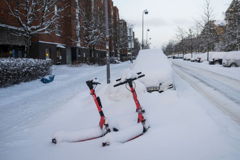
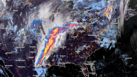
Weather experts said that snow has fallen moderately to heavy over Northern New Mexico.
Further, the snow is also expected to fall towards various areas in Texas.
Meteorologists observed that snow has been falling at a moderate to heavy pace over the mountains of northern New Mexico. Moreover, a wintry mix has also occurred at some of the lower elevations, including in Albuquerque, New Mexico.
Snowfall Expected To Spread

It is expected that on Thursday night, the snow will spread from parts of northwestern Texas, the Oklahoma Panhandle and southeastern Colorado, as well as in the large portion of Kansas.
Moreover, the snow is expected to pick up in intensity on Thursday evening as the storm becomes more organized with more abundant moisture available.
Meanwhile, meteorologists said that across southeastern New Mexico into southeastern Kansas, warmer air filtering in from the Gulf of Mexico will hinder the advancement of colder air.
This weather condition will result in a wintry mix on Thursday night and into Friday.
Cities including Clovis, New Mexico, and Amarillo, Texas, could get a slushy accumulation of rain, snow and sleet. This weather will make roads during travel slippery.
The National Weather Service said that upper level disturbance would track eastward tonight from the southern Rockies into the central and southern Great Plains.
Further, mostly light to locally moderate snowfall accumulations will impact eastern Colorado and northeastern New Mexico through early Friday morning with snow spreading eastward into portions of Kansas during the day on Friday.
On the other hand, a cold rain will affect locations farther south into Oklahoma, Texas and the Lower Mississippi Valley.
Warm and weakly unstable air will lift northward through the Gulf of Mexico, reaching portions of the Gulf Coast on Friday into Saturday, supporting threats for strong to severe thunderstorms capable of heavy rain and localized flash flooding.
Read Also: East Coast, Southeast Weather: Rainy Conditions, Wintry Mix To Unload This Late Week
Severe Thunderstorms, Storm System
The threat for severe thunderstorms should stay focused with about 100 miles of the Gulf Coast and across much of the Florida Peninsula.
Meanwhile, as the storm system continues eastward through Friday night, rain will overspread the southeastern US as an area of low pressure advances toward the Carolinas.
Freezing rain, with increasing potential for significant accumulations of ice, is still expected for parts of the southern and central Appalachians with accumulations over 0.1 inches impacting travel.
On the other hand, low pressure will track northward along the Mid-Atlantic coast on Saturday with mainly rain for the I-95 corridor from New York City and southward, although precipitation may begin as light snow.
Better chances for accumulations will remain over interior portions of the Mid-Atlantic and Northeast with the storm continuing through Saturday night.
When it comes to the weather system across the western US, a temporary lull in precipitation is expected behind a weakening cold front/upper level disturbance on Friday.
However, a stronger storm system is expected to reach the Pacific Northwest on Friday night with coastal rain and mountain snow.
Heavy snow is also possible for the Cascades and portions of the northern Rockies.
As the upper disturbance moves inland on Saturday, precipitation will advance southward down the West Coast into California with areas of heavy snow expected into the Sierra Nevada.
Related Article: NWS Weather Forecast: Freezing Fog, Snow To Hit Colorado, Wyoming This Late Week
© 2024 NatureWorldNews.com All rights reserved. Do not reproduce without permission.

![Tsunami Hazard Zones: New US Map Shows Places at Risk of Flooding and Tsunamis Amid Rising Sea Levels [NOAA]](https://1471793142.rsc.cdn77.org/data/thumbs/full/70325/280/157/50/40/tsunami-hazard-zones-new-us-map-shows-places-at-risk-of-flooding-and-tsunamis-amid-rising-sea-levels-noaa.jpg)


