Weather experts said that there is an increased chance of tropical development in the Gulf of Mexico and this could bring showers and thunderstorms.
Based on the weather forecast, rainfall could affect areas from Texas to Florida.
According to meteorologists, a tropical moisture is expected to bring drenching rainfalls towards the Gulf Coast during this week.
This follows a rather quiet spell in the area of the Atlantic basin.
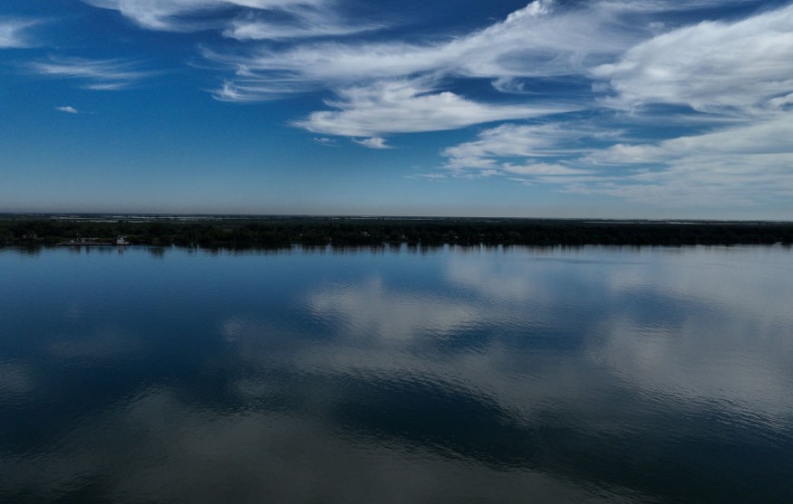
Gulf Coast
Based on forecast, the storm's track will largely determine the location of the heaviest rains but will most likely target the Gulf Coast's central and eastern parts on Thursday.
Even though the storm is moving rather quickly, it can bring any location rounds of heavier downpours for at least 12 hours.
It was observed by experts that the Gulf of Mexico has not been the hot spot of tropical activity for much of the 2023 Atlantic hurricane season.
During this season, with a total of 17 named tropical storms, only three have passed through the waters of the Gulf of Mexico.
Meteorologists said that the Atlantic basin trend could change this week and it is seen to shift focus from the waters of the Atlantic to the Gulf of Mexico.
They noted that the strengthening wind shear over the western Gulf of Mexico would limit how much time the tropical low has to get to be more organized.
The National Hurricane Center and Central Pacific Hurricane Center provided a tropical weather outlook for North Altantic, Caribbean Sea, and the Gulf of Mexico.
A broad area of low pressure located several hundred miles south-southwest of the Cabo Verde Islands continues to produce a large area of showers and thunderstorms.
Meteorlogists said that this activity has changed little in organization since the previous day.
However, environmental conditions appear conducive for gradual development, and a tropical depression is likely to form in the next couple of days while the system moves west-northwestward or northwestward across the eastern tropical Atlantic.
Read Also : Possible Storm Likely to Develop in Gulf of Mexico; Coastal Hazards to Impact Eastern Seaboard
Broad low pressure
Meanwhile, a broad area of low pressure over the southwestern Gulf of Mexico continues to produce an area of disorganized cloudiness as well as thunderstorms.
Experts said that environmental conditions appear only marginally favorable for some additional development while the system moves slowly northward during the next day or so.
The low pressure area is forecasted to merge with a frontal system over the western Gulf of Mexico by Wednesday morning.
Meteorologists said that regardless of tropical cyclone development, the system is forecasted to produce winds to gale force over portions of the northern Gulf of Mexico by Wednesday.
Additional information regarding this system, including gale warnings, can be found in high seas forecasts that will be issued by the National Weather Service.
Weather experts said that as the tropical system pulls northeastward into midweek, it is seen to bring waves of tropical moisture stemming from the Gulf of Mexico and the East Pacific, including from Tropical Storm Lidia.
The double source of tropical moisture will then help fuel an area of heavy rainfalls and bring about flooding concerns.
Related Article : Gulf Coast Storm: Tropical Moisture Brings Heavy Rain, Thunderstorms in Florida and Surrounding Regions
Related Video:
© 2026 NatureWorldNews.com All rights reserved. Do not reproduce without permission.


