The latest weather forecast showed that a severe thunderstorm outlook could unload in the Southern Plains and Central Plains this week.
On the other hand, Midwest residents can anticipate a relief from the heat.
Recently, NWN reported that severe storms could also impact parts of eastern New Mexico and West Texas this midweek.
Residents can likely expect potential hail conditions and damaging winds.
Meanwhile, the Southerly winds can help bring potential rain and thunderstorms this week in the region.
Homeowners with travel plans should monitor the latest weather due to slower commutes or travel disruptions.
Excessive Rainfall, Severe Thunderstorms
Potentially severe thunderstorms and excessive rainfall in the Central Plains and Southern Plains, according to the October 2 advisory.
Northern Plains can also expect near-record high temperatures that could reach the upper 80s and low 90s on Tuesday.
The advisory noted that the eastern portions of the US can experience a warm weather outlook due to a developing heat dome. In the Pacific Northwest, rainy conditions are expected as a low-pressure system gradually develops.
In Houston, residents can anticipate potential heavy rain conditions and isolated flash flooding on Tuesday.
Midwest Weather Forecast: Cooler weather and severe thunderstorms
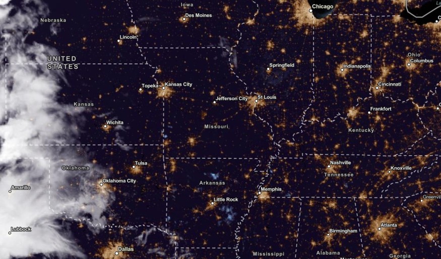
In the Midwest, Americans experience unusual records of warm temperatures in Kansas City, Omaha and Fargo. Residents can anticipate relief from the heat midweek due to cooler conditions.
However, homeowners should stay alert for possible severe thunderstorms starting Tuesday evening. The forecast warned of damaging wind gusts, large hail and isolated tornadoes.
On Tuesday, the weather risk is likely in the following areas:
- Sioux Falls
- North Platte
- Omaha
- Topeka
- Wichita
- Oklahoma
- Lubbock
- Midland
- Oklahoma City
- Amarillo
From Thursday to Sunday, the much-awaited cooler weather will unfold in the following areas:
- Green Bay
- Chicago
- Kansas City
- St. Louis
- Buffalo
- Pittsburgh
- Charleston
- Nashville
- Memphis
- Boston
- Virginia Beach
Keeping safe from excessive rainfall and severe thunderstorms
The recent weather forecast warned of excessive rainfall and severe thunderstorms. The main concerns are flash flooding, flooding and slower commutes.
Storms can cause devastating damage to life and property. Homeowners should keep updated with the latest weather forecasts in their areas.
Here are home reminders to remain safe from the US's challenging weather conditions this week.
Although some parts of US experience cooler weather conditions, challenging weather conditions are still possible.
- Homeowners should stay alert with the latest forecasts this week, especially in the Central Plains and Southern Plains.
- When the weather outlook worsens, it is advisable to stay at home until the weather improves.
- Homeowners should avoid open areas or water when thunderstorms strike or roar.
- Motorists should watch out for flooded road conditions this week due to the extreme weather events.
Related Article : US Weather Forecast: Severe Storms To Hit New Mexico, West Texas This Week; Unusual Warmth to Stay in Central US
For more similar stories, don't forget to follow Nature World News.
© 2025 NatureWorldNews.com All rights reserved. Do not reproduce without permission.


