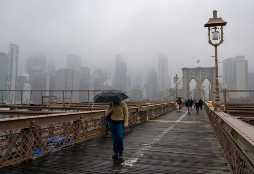
Inclement weather in the form of heavy rainfall will possibly occur in a vast area from Northeast US to Texas by mid-week, according to the latest forecast of the National Weather Service (NWS).
Based on previous reports, the occurrence of the heavy showers is likely during afternoon or evening hours.
Renewed power outages due to damaged power lines and travel chaos may transpire during this period.
With this, the NWS said the threat of flash flooding is likely from southern New England and the Ohio/Tennessee Valleys to the western Gulf Coast until Tuesday, September 6.
Meteorologists treat the approaching torrential rain as a relief from the series of heat waves and drought conditions that struck the regions in recent months.
Low-lying urban and rural areas are at risk from floodwaters.
The weather service also issued other forecasts pertaining to the "dangerous heat" in the Western US; where wildfires and extreme heat domes have gripped the region.
In California and Nevada, local authorities have urged millions of its residents to conserve energy.
The measures aim to cope with the increasing electricity demand and decreasing power supply amid scorching temperatures.
Furthermore, the US weather agency also mentioned the possibility of critical fire weather conditions across portions of the northern Great Basin and Plains.
These conditions include weather and climatic factors like humid air, soil moisture, dry conditions, wind pattern, and hot temperatures that favor the growth and spread of wildfires.
NWS Heavy Rainfall Forecast

The agency's Weather Prediction Center (WPC) on Sunday, September 4, reported there is a "Slight Risk" of torrential rain from parts of the Northeast to Ohio/Tennessee Valleys and Southern Appalachians.
A small area in the southern tip of Texas will also be affected from the Labor Day holiday on Monday, September 5, and into Tuesday, September 6.
Affected Areas
A combination of weak fronts, tropical moisture, upper-level energy, and upslope flow will support the production of rain showers and thunderstorms over parts of northeast Alabama and northwestern Georgia.
The WPC also issued "Moderate Risk" of excessive rainfall over parts of Southern Appalachians until the morning hours on Labor Day.
The center says heavy rainfall will bring flash flooding in numerous areas, especially roads, small streams, large rivers, and urban areas being the most vulnerable.
NBC Boston also issued its forecast that the holiday will mostly see wet weather in the region with exception of northern Maine.
The US media outlet adds there will be overnight shows and thunderstorms from Sunday to Monday, lowering temperatures into the 50s and 60s.
Additional Forecasts
The mentioned NWS forecast earlier indicated the persistence of the oppressive heat wave in the West.
As a result, the major summer heat wave has already prompted several utility service providers, including the California Independent System Operation (CAISO) to maintain their so-called "Flex Alert" for the fifth straight day, according to Business Wire.
Similar measures have been reported in Nevada, as power grid systems in the region are affected by the high temperatures.
Related Article: Heavy Rainfall Persist in Southeastern US, Increasing Risks of Flash Flood
© 2024 NatureWorldNews.com All rights reserved. Do not reproduce without permission.


