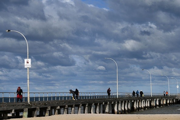
Strong winds are forecasted to continue to hammer Australia this week, and while peak speeds are not expected to be remarkable, the breadth of the impacted area will be uncommon.
As low pressure moves to the southeast, high pressure is expected to form throughout Western Australia before moving eastward.
Winter chill in Australia
 (Photo : WILLIAM WEST/AFP via Getty Images)

Temperatures are predicted to drop initially as southerly winds push northwards into the heart of the Australian mainland, with many people experiencing nightly temperatures barely a few degrees above freezing.
The southeast is predicted to receive heavy rain and mountain snow. However, on the leading edge of this chilly air, easterly winds will intensify, and these will be the most noticeable.
Winter's coldness hasn't left Australia yet, with a "strong" cold front expected to blow across the southeast today, as per 9News.
The weather system is forecast to bring the year's biggest low-level snowfalls, as well as severe winds and torrential rain.
Snow to 300m is possible for Tasmania and as low as 500m for the mainland, according to the Bureau of Meteorology (BoM).
Snow is indicated by a characteristic "speckled" field of clouds visible on satellite images.
When very cold air moves over a relatively warm area of water, a great number of individual cumulus clouds form across a large area.
Rain will occur across a vast area of southeastern Australia during the next two to three days, with widespread rainfall of 10 to 30 mm and isolated totals exceeding 50 mm, most likely in western Tasmania.
There have been severe weather warnings and flood watches issued. Residents are asked to stay up to date on the newest advisories by visiting this page.
Canberra and Hobart will see lows of 3 degrees Celsius, while Melbourne and Adelaide will have lows of 5 degrees Celsius and 7 degrees Celsius, respectively.
Sydney is expected to see a low of 12 degrees Celsius tomorrow, with temperatures dropping to 7 degrees Celsius on Wednesday.
As the cold front moves east, the BoM cautions that "extremely cold air" will be felt in South Australia, Victoria, New South Wales, the Australian Capital Territory, and Tasmania.
Melbourne, Adelaide, Canberra, and Hobart will all have single digital lows.
Also Read: Massive Cold Front and Low Pressure System Brings Adverse Weather to Southeast Australia
A strong gust swept almost the entire country
Almost the entire country is expected to be impacted by 35 to 40mph gusts from the east or south overnight Tuesday and into Wednesday, with gusts reaching up to 50mph in interior portions of the Northern Territory, as per The Guardian.
These speeds may not appear to be outstanding, yet such broadscale strong winds on a landmass of this size are unique.
Strong south-easterly winds are anticipated to continue into Thursday across the northern half of Australia, before lessening for a while and returning to the southern half of the country this weekend and early next week.
Meanwhile, excessive heat throughout the eastern Mediterranean is likely to subside later this week when somewhat cooler air from the west filters in.
An accompanying upper cold pool will allow a surface low-pressure system to form, resulting in severe weather in the form of violent thunderstorms across areas of Greece and western Turkey on Wednesday, Thursday, and Friday.
Related article: Australia Will Experience More La Nina Weather This 2022
© 2024 NatureWorldNews.com All rights reserved. Do not reproduce without permission.


