This holiday weekend, an Alberta clipper is expected to bring frigid air and the first accumulating snow of the season to some part of the country.
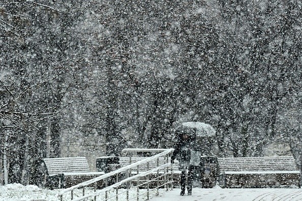
Alberta Clipper: The Quick-hitting Storm
While astronomical winter doesn't start until Dec. 21, meteorological winter kicks off Dec. 1. This weekend, some locals may have to get their winter jackets and snow shovels out of storage before winter arrives.
A dip in the jet stream will bring cold air to the Midwest and Great Lakes early Friday, paving the way for severe weather, according to Accuweather.
From the Dakotas to Ohio and Michigan, residents seeking to take advantage of Black Friday shopping will need to bundle up as temperatures will drop into the teens and 20s Fahrenheit.
On Friday night, the Alberta clipper will drop out of Canada and towards the northern United States.
Distortions continue in the northern Pacific, moving inward across western Canada. These storms are called Alberta clippers because they often begin in Alberta, Canada, and tend to travel quickly southward along the jet stream across the Great Lakes and Northeast "Alex Sosnowski of AccuWeather explains.
This clipper will spread snow from Minnesota to Illinois on Saturday. Saturday's high temperatures are forecast to be in the mid- to upper-30s, making snow accumulation difficult.
On Saturday, 1-3 inches of snow is expected from northern Minnesota to Wisconsin. Larger population areas, like Minneapolis-Saint Paul, will be slightly south of any steady snow on Saturday, with smaller accumulations.
Snow accumulations on Saturday are predicted to be on grassy or elevated surfaces, not pavement.
Also Read: Pacific Storm Train Delivers Another Round of Rain and Snow to California
How Will This Event Affect Holiday Travel?
Because of the holiday weekend's increased travel load, any slushy or slippery road conditions may prompt travel concerns or delays.
Some areas of the Northeast and the Great Lakes are expected to get snowfall Saturday night. In the evening, when the sun sets and the temperatures drop, certain major cities, like Detroit, may become messy.
As the ground and paved surfaces chill, snow has a higher possibility of accumulating.
On Sunday morning, snow may cover the ground in the Motor City, with additional precipitation expected throughout the day.
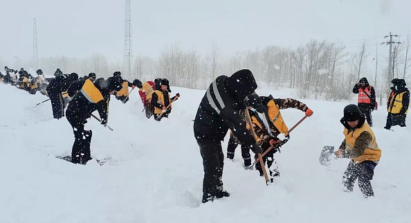
How Much Snow is Expected?
Snow will continue to fall throughout most of the Great Lakes area on Sunday, with northern Michigan and the Upper Peninsula seeing the most snowfall.
Except for northern Michigan and the Upper Peninsula, snowfall quantities will stay in the 1-to-3-inch range over the Great Lakes area. With an AccuWeather Local StormMaxTM of 10 inches likely in certain regions.
November has been a warm month in the Upper Midwest, so any snow accumulation this weekend may be a welcome surprise. While large cities like Chicago may avoid the worst of the storms, this approaching clipper will definitely be remarkable.
According to AccuWeather Senior Meteorologist Dan Pydynowski, O'Hare International Airport has received just a trace of snow this season. By Nov. 15, the city usually receives its first measurable snowfall (at least a tenth of an inch).
While there is a possibility of breaking the snow drought late Saturday into Saturday night, according to Chicagoland Pydynowski, the storm track seems to favor snowfall north.
Forecasters predict that even if Chicago misses the mark with this impending clipper, the city is unlikely to set a new record for the latest first measurable snowfall, which is presently set on December 20, 2012.
Related Article: Denver Breaks 87-Year-Old First Snow Records
For more news, updates about snow and similar topics don't forget to follow Nature World News!
© 2024 NatureWorldNews.com All rights reserved. Do not reproduce without permission.

