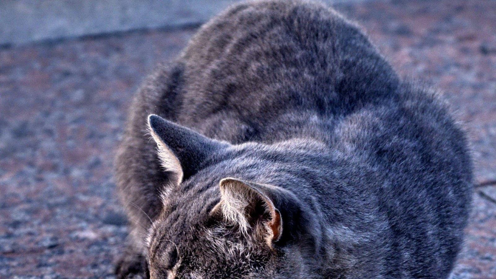
A foreseeable arctic blast could bring wind chills and lowering temperatures to the Northern Plains as well as the Upper Midwest of the US, which could increase the risk of frostbite.
The impending arctic blast this weekend could be the biggest winter cooldown for the northern part of the country since December.
Arctic Blast and Below Zero Temperatures
According to the FOX Forecast Center, a quick-moving storm system will cover the Great Lakes with a few inches of snow through Friday. The northern Plains and Upper Midwest will experience temperatures that are at least 20 degrees below average starting on Saturday, which will make it appear as though the bottom of the bucket has fallen out on the thermometer.
The feels-like temperatures are predicted to reach hazardous values from 20 to 30 degrees below zero when the actual temperature and wind are combined.
Frostbite can develop within minutes of exposure to subzero wind chills, and in the weekend's arctic blast zone, the onset of symptoms could be less than 60 seconds.
An intense cold front will be moving through the central Plains, according to Marissa Torres, a FOX Weather meteorologist.
Dangerously Cold Territory
The latest cold air intrusion won't travel as far south as December's record cold blast, which reached Florida.
As the weekend wears on and the final workdays of January get underway, cold air is anticipated to move into northwest Texas and the Ohio Valley, but because of a ridge of high pressure over the Southeast, the most hazardous weather will continue to spread across the northern tier of the country.
The temperature in Bismarck, North Dakota, is predicted to drop below zero on Friday and might not rise above ten degrees again until Tuesday.
Temperatures that will linger in the dangerously low territory could bring about a similar fate for many communities in South Dakota, Minnesota, Iowa, and Nebraska.
Possibly Warmer Than Average
The National Weather Service has not yet issued any watches, warnings, or advisories, but as the Upper Midwest and Plains region approaches the significant event, a Wind Chill Advisory or a Wind Chill Warning may need to be issued for those counties.
The National Weather Service has not yet issued any watches, warnings, or advisories, but as the Upper Midwest and Plains region approaches the significant event, a Wind Chill Advisory or a Wind Chill Warning may need to be issued for those counties, FOX Weather reports.
Arctic Blast and Frostbite
According to KQ2.com, the Polar vortex is referred to as an arctic blast in other contexts. Therefore, the polar vortex is a region of low pressure where the jet stream has trapped all of the cold air surrounding the north pole.
The cold air typically doesn't move. However, occasionally the vortex can weaken and a piece of the low-pressure system may separate. This causes the jet stream to shift south, allowing all of the arctic's cold air to spread out into the region.
This causes the jet stream to shift south, allowing all of the arctic's cold air to spread out into the region.
Meanwhile, frostbite is harmful to skin and tissue brought on by exposure to subfreezing temperatures, usually any temperature below 31 degrees Fahrenheit. Although any part of the body can be affected by frostbite, the extremities, including the hands, feet, nose, ears, and lips, are most susceptible, NHS reports.
© 2026 NatureWorldNews.com All rights reserved. Do not reproduce without permission.


