Climate change and global warming scientific data has left people with less time to prepare for an extreme sea level rise than, according to a new study led by a research team in the Netherlands and Singapore.
The researchers used satellite technology as a new and more accurate method to determine that many regions worldwide will experience the worst impacts sea level rise earlier than expected.
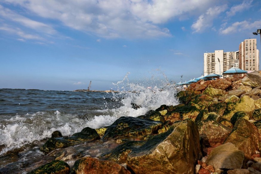
For years, climate scientists have issued recurring warnings for the intensification of extreme weather events like droughts, storms, and high temperatures.
While the warming of the planet causes frozen glaciers and ice sheets to melt, global sea level rise has always been a dominant threat to land-based living organisms.
However, the new paper said older climate models are not entirely accurate.
Extreme Sea Level Rise
The study was published in the journal Earth's Future on January 2, where researchers found the largest increases in inundation will occur after the first 6.6 feet (two meters) of sea level rise, covering over twice as much land as older elevation models had predicted.
Current or older models indicated that the most dire consequences will occur after sea level has increased by several meters.
The scientific paper has drawn the following key points:
- Radar-based global elevation models or global sea level rise models available to date have generally underestimated the extent of worst impacts of lowest coastal areas that are vulnerable to sea level rise
- Recent satellite data is currently the most accurate tool and the study recommends its usage when it comes to assessing impacts of sea level rise
- Application of the said model revealed that the greatest increase in coastal area below mean sea level will transpire in the early stages of sea level rise, contrary to previous assessments
ICESat-2 Lidar Satellite
The study used high-resolution measurements of land elevation from the ICESat-2 lidar satellite, which stands for Ice, Cloud, and Land Elevation Satellite), of the National Aeronautics and Space Administration (NASA).
Launched in 2018, ICESat-2 is part of NASA's Earth Observing System, a satellite mission with the aim of improving models of sea level rise and inundation, as well as clouds, ice sheet level, sea ice width, land structure, and vegetation features.
The Earth's Future study said that previous assessments relied on radar-based data, which are less accurate.
Radar is incapable of fully seeing vegetation and therefore overestimates surface elevation, according to Ronald Vernimmen, a researcher at the Dutch research company Data for Sustainability, as cited by Phys.org.
Global Sea Level Rise
Since 1880, the global average sea level has increased by 8 to 9 inches (21 to 24 centimeters).
Furthermore, since 2021, global sea level reached a new record high of 97 millimeters (3.8 inches), which is above 1993 levels, according to the National Oceanic and Atmospheric Administration (NOAA).
If the trend continues, more people will be forced to migrate in a phenomenon that is part of the climate exile, a forced displacement of people from their homes due to climate change and global warming.
In Europe, extreme weather exiles has turned some Europeans into migrants due to the climate crisis, as well as its associated events like flash floods, mudslides, and wildfires caused by heatwaves, according to Euronews, which cited a statement from the International Organization for Migration (IOM).
© 2026 NatureWorldNews.com All rights reserved. Do not reproduce without permission.


