Air quality planning organizations in the United States In their ozone pollution evaluations, the Great Lakes area now includes high-resolution NASA satellite data and near real-time Earth observations. It's challenging to create models that precisely forecast the intricate lake and land winds around Lake Michigan's shores.

Still, it's also critical to understand how ozone pollution circulates in the region.
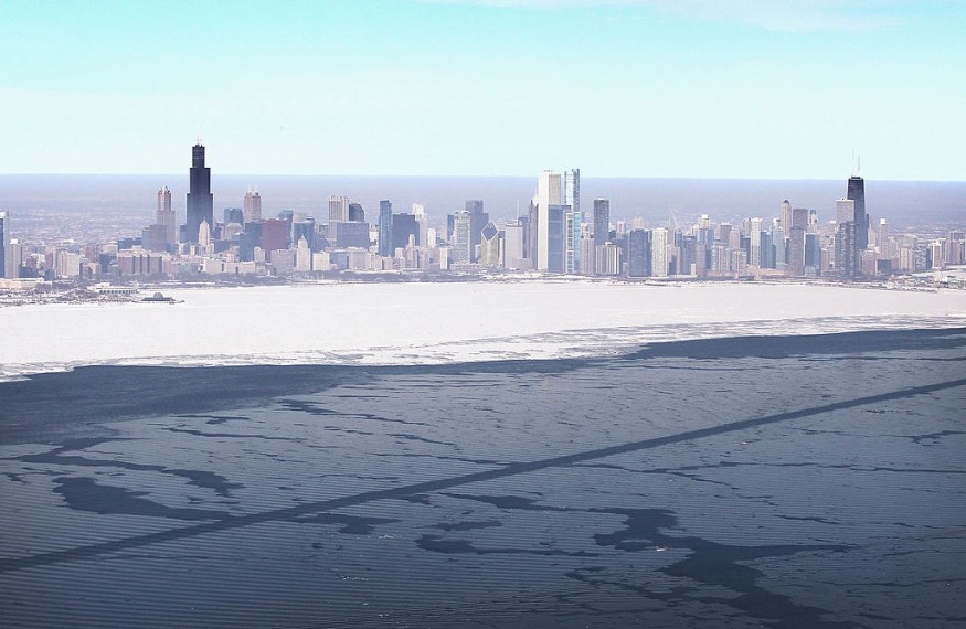
Peculiar Weather Conditions
The peculiar weather of the Lake Michigan shoreline can result in areas of elevated ground-level ozone levels. Emissions from vehicles, trucks, fossil-fuel power plants, and other sources contribute to the production of this air pollutant. Local and federal officials also keep an eye on it, as states are required to "attain," or satisfy, federal air quality standards.
"Our member states are dealing with multiple non-attainment sites in our region that are breaching federal ozone requirements," said Zac Adelman, the Lake Michigan Air Directors Consortium's executive director (LADCO). "This technology is currently operational, and we're utilizing it for policy purposes - we're actively using the modeling tools produced via this project to mimic mitigation activities and guide state attainment plans."
Major Collaboration
This NASA-funded project collaborated with LADCO and the Wisconsin Department of Natural Resources (WDNR) to develop a modeling tool that includes satellite data for ozone monitoring activities to ensure that the appropriate data was in the right hands and the right format. Adelman believes this is critical for increasing trust in policy decisions to reduce ozone pollution. NASA and the National Oceanic and Atmospheric Administration (NOAA) provide data.
"It's extremely wonderful to watch how LADCO has run with these resources and how involved they've been throughout the process," said Otkin.
Importance of the Study
Adelman of LADCO concurred. "This study helps us add value to the meteorological and air quality models we use to support state decisions, making it simpler for us to assist our member states in assessing ozone levels and meeting federal pollution regulations," Adelman said.
NASA also offers additional Earth measurements that impact the complex ecosystem around the Great Lakes and wind and weather. These include high-resolution data on soil moisture and temperature from NASA's Land Information System and from NASA's Soil Moisture Active Passive (SMAP) mission and NOAA sources such as the GOES satellite series.
NASA's Health and Air Quality project team built on previous work in the area, including a 2017 study focused on local ozone air quality near Lake Michigan and a recent campaign to map ozone hotspots around the Great Lakes to evaluate the effectiveness of these complex computer models of the Great Lakes regions.
Using this aerial perspective, the project team collaborated with local air quality partners at LADCO to run their model to increase simulation accuracy, allowing for more exact action assessments.
Actively Updating Models
Working directly with end users has allowed the team to actively update the modeling process as LADCO tests these maps in real time. Otkin and his colleagues have monthly technical meetings with LADCO and quarterly meetings with WDNR to fine-tune the system now that it is operational.
"The most productive collaborations are ones in which you engage with the user, incorporate their comments, and provide them a fully operating solution that's genuinely suited for their requirements," Pierce explained. That's what we were able to achieve here - LADCO has been as active a participant in the study as we have been, a true collaborator."
According to Adelman, the findings suggest that LADCO's member states may reliably develop ways to meet federal ozone regulations for the foreseeable future. He said that LADCO's member states are relying on more precise projections from NASA Earth observations when their official plans to combat ozone and fulfill state-specific air quality targets are due to the Environmental Protection Agency in 2023.
Related Article : Satellites Capture Worsening Air Pollution in Tropical Megacities
For more health and environment related news, don't forget to follow Nature World News!
© 2026 NatureWorldNews.com All rights reserved. Do not reproduce without permission.


