Chile's south-central coast might be more susceptible to tsunamis than previously thought. Geological investigations in the Chaihuan tidal wetlands have shown the fallout of a tall wall of water that impacted the earth's surface in 1737. However, there is no description of such wave in written documents.
Discovery of the Tsunami
In 1737, there was an earthquake in the area, but no evidence of a tsunami, says Emma Hocking of Northumbria University in the UK.
Because of this, the future tsunami forecasts may be based on a mistake, which is a concern. Earthquakes with the potential to cause tsunamis may occur as regularly as once every 130 years rather than once every 280 years as previously thought.
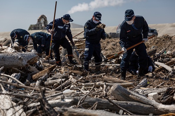
An earthquake of magnitude 9.5 in 1960 struck Valdivia, a historic city on Chile's south coast. The sediment layers discovered there helped lead to the finding, according to Science Alert.
An approximately 25-meter-high tsunami was unleashed, killing thousands along the Chilean coast and wreaking havoc on the coastlines of the United States, Japan, the Philippines, New Zealand, and Hawaii.
Tsunamis were reported after earthquakes in Valdivia in 1837 and 1575, according to written documents, although the 1737 earthquake failed to produce a wave.
A previous study suggested that the 1737 earthquake may have been triggered by a deep rupture between two tectonic plates under the land, rather than beneath the sea, as was previously thought.
Researchers, however, discovered evidence of tsunami flooding on land in the silt and single-celled algae found in Chaihun.
Coastal subsidence and tsunami inundation at Chaihun is best described by offshore, shallow megathrust slip rather than deeper slide below land as previously hypothesized, the scientists conclude in their paper.
Also Read : New Algorithm To Predict When Tsunamis Strike
What Might Have Caused the Tsunami?
The most probable depth of the earthquake that triggered this tsunami would be between 12 and 20 kilometers in depth. After all, a tsunami is more likely to follow an offshore shallow earthquake.
The scientists discovered three unique sand sheet strata at Chaihuan, all of which were deposited by tsunamis that originated in the area.
Layer A sands are from the 1960 earthquake, while sand from the 1737 and 1575 earthquakes make up layers B and C accordingly.
The 1737 earthquake was the closest to the salt marsh, despite other earthquakes occurring at the same time as layer B was being deposited. This shows that the 1737 earthquake had a lower impact on the coast than the 1960 tsunami, which is supported by other geological studies.
Because of this, it seems that the same fault lines may produce somewhat different natural catastrophes throughout time, scientists must be very cautious going forward.
Predicting Future Tsunamis
"Tsunami hazard assessment is often based on historic records of flooding along particular coastlines, with the frequency of past tsunami occurrence used to predict the potential future risk," said Hocking.
"However, such records are sometimes incomplete because reporting of tsunamis can be greatly affected by societal unrest or other crises. In this case, it is believed that the lack of chronicles of a tsunami could be attributed to uprisings that had driven settlers from most of the colonial outposts in the area."
Researchers are encouraging caution in the use of historical data to forecast future earthquakes and tsunami events.
Direct geological data and historical records may be used in conjunction to better predict what will happen in the future. There is still a lot of work to be done in order to have a complete picture of the 1737 tsunami.
For more news, updates about tsunamis and similar topics don't forget to follow Nature World News!© 2026 NatureWorldNews.com All rights reserved. Do not reproduce without permission.


