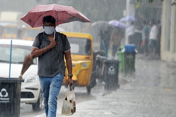
AccuWeather meteorologists warn that a long-duration storm may dump a month's worth of rain in a few days and bring record-breaking snow to the West Coast mountains from this weekend through next week. The drought will benefit from heavy rain and snow, but could put lives and property in danger and also lead to major travel problems.
Impacts of Rain and Snow
On Thursday, a storm with its sights set on the West Coast of the United States was churning over the Bering Sea between Alaska and Russia. The storm is expected to move southeast along the North American Pacific coast next week, guided by the jet stream's winds.
Atmospheric rivering, which occurs when rain and snow fall at around 1-2 inches per hour over mountains, is possible as the storm moves from north to south along the West Coast, according to AccuWeather Senior Meteorologist Tyler Roys.
Meteorologist Rob Richards of AccuWeather warned that the storm's massive rain and mountain snow would lead to unsafe travel and road closures as well as possible floods, washouts, and mudslides. Shipping delays ahead of the Christmas season are expected to be exacerbated by bad weather that might affect truck, rail, and air traffic.
At some point on Friday night, the storm will begin to pound northern Washington before moving southeast and inland across Washington and Oregon early in the weekend, after making landfall in Alaska and British Columbia earlier in the day, according to News Break.
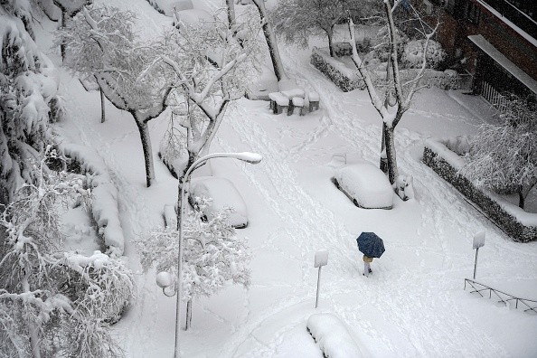
2-4 inches of rain is expected to fall along the coastlines of Washington and Oregon, as well as the lower west-facing slopes of the Cascades, this weekend, with greater amounts possible in certain areas. Rain and high winds are expected to cause traffic delays on the Interstate-5 corridor. Meanwhile, the Cascades are expected to get several feet of snow, putting Snoqualmie and Stevens Passes at danger of closure.
Areas the Worst of the Storm May Hit
At some point between Sunday night and Monday morning, the worst of the storm could possibly impact the San Francisco and Sacramento regions. In San Francisco and Sacramento, the average monthly rainfall in December is 4.14 inches and 3.43 inches, respectively.
As the system moves over California, other areas may get up to a month's worth of rain in a matter of days. According to AccuWeather, areas like San Francisco, Sacramento, and possibly Los Angeles may see urban flooding.
It's possible that the heaviest rain may fall in Southern California and the Los Angeles region as early as Monday night and last through Tuesday.
Benefit of the Storm: Alleviation of Drought
Next week, if the storm develops to its full capacity and remains over California for an extended period, the Sierra Nevada may see snowfall totals of 2 to 4 feet, with greater quantities of 6 to 8 feet possible in the high country.
In spite of its immediate dangers, the storm is expected to have a long-term impact on the continuing drought. According to the US Drought Monitor, more than 80% of California is experiencing severe or exceptional drought.
Since the beginning of 2020, rainfall in most of California has been just about half of normal, and the long-term drought will not be alleviated by a single storm. San Francisco and Sacramento, for example, are seeing rainfall deficits of double digits. However, the storm might help alleviate the region's long-term drought.
For more news, updates about storms and similar topics don't forget to follow Nature World News!
© 2026 NatureWorldNews.com All rights reserved. Do not reproduce without permission.


