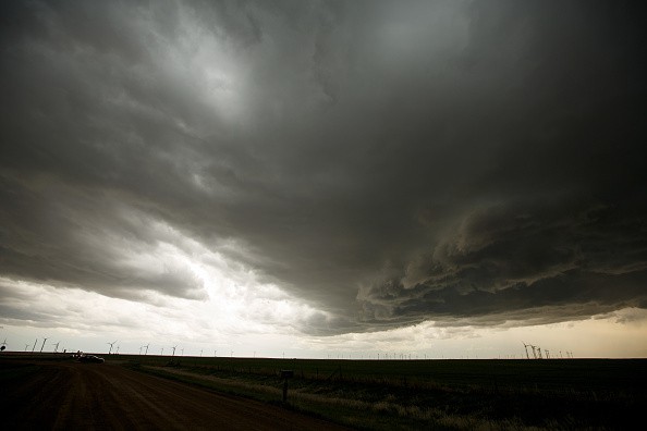
Later this week, a monster bomb cyclone will form just off the northwest United States and western Canada coasts, and AccuWeather analysts believe it could equal the ferocity of powerful hurricanes from the Atlantic this season in several ways.
The huge storm will have severe and devastating effects all along the West Coast, but the rain it will bring to California, Oregon, and Washington will be much needed.

Remnants of Namtheun
According to Meteorologist Randy Adkins, energy from former Severe Tropical Storm Namtheun, which churned over the western Pacific, will join forces with a non-tropical system lying over the northern Pacific on Wednesday.
As a result, rapid strengthening will occur. As the storm coalesces a few hundred miles off the coastlines of Washington and British Columbia, its intensity may easily exceed the bombogenesis requirements.
Related Article : How Will the Damp La Niña Season Affect the Scorching American West?
Bomb Cyclone
A bomb cyclone is a rapidly intensifying storm with a core pressure that drops by 0.71 inches of mercury (24 millibars) or more in less than 24 hours, according to meteorologists.
Bombogenesis is the name given to this process. As the pressure at the heart of the storm decreases fast, air rushes in to fill the vacuum formed in the atmosphere, causing destructive winds.
The storm's core pressure is expected to drop to around 28 inches of mercury (948 millibars), placing the bomb cyclone on par with, if not better than, Hurricane Larry, a long-lived and powerful cyclone that churned over the Atlantic in early September.
Larry was a powerful Category 3 hurricane with maximum sustained winds of 125 mph and higher gusts when it reached its peak strength. The central pressure fell to 28.20 inches of mercury (955 millibars).
However, it will not be as powerful as Hurricane Ida, which was a Category 4 storm with a minimum central pressure of 27.43 inches of mercury at its peak (929 millibars).
Rapid Development
As the storm rapidly develops at midweek, damaging winds are expected from the northern point of Vancouver Island, British Columbia, to the Haida Gwaii archipelago in British Columbia. According to Adkins, as the storm's associated cold front moves eastward, 40-60 mph wind gusts are predicted.
The monstrous storm will be densely packed with moisture and wind energy, and it will 0serve as a catalyst for future storms aimed at the Pacific coasts of the United States and Canada. Each storm will strengthen to its degree, but it will not reach the same intensity as the offshore bomb cyclone.
As the bomb cyclone's circulation intensifies, winds and wave activity will intensify across the coastal Northwest into Thursday and as far north as the Aleutian Islands on Friday, where NOAA's Ocean Prediction Center predicts waves of up to 48 feet.
"Strong wind gusts of 40-50 mph are also expected for coastal sections of Washington and Oregon from Wednesday to Thursday," Adkins added. "However, because the bomb cyclone's center is expected to remain offshore, wind damage will be relatively minor and will certainly pale in comparison to the bomb cyclone from Thanksgiving week in 2019," he added.
Stormy conditions are expected to persist in the coastal Northwest into next week and spread southward along Southern California's coast.
For more news about making the environment sustainable, don't forget to follow Nature World News!
© 2026 NatureWorldNews.com All rights reserved. Do not reproduce without permission.


