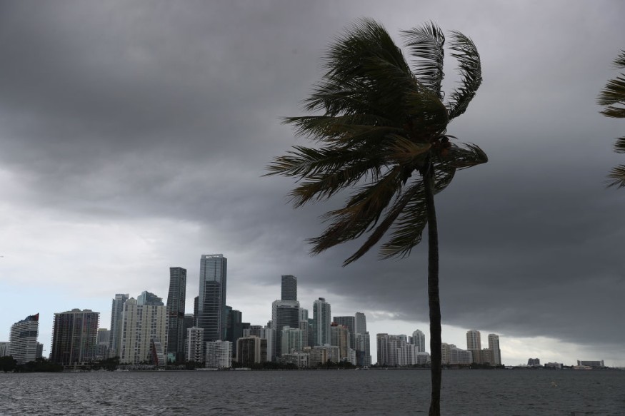
Drenching rain will continue this week over the flood-stricken Southeast, according to AccuWeather experts. Tropical moisture from numerous sources will be to blame, according to forecasters.

Continuous Downpour
Already this week, the region has had heavy rain, with portions of the Florida Panhandle, Georgia, and Alabama reporting several inches of rain on Monday. Pensacola, Florida, received 8.16 inches of rain on October 4, making it the second wettest October 4 on record for the city, behind only the same date in 1995 when Hurricane Opal made landfall in the western Florida Panhandle. This torrential downpour shut down roads in downtown Pensacola and caused major traffic delays around the region.
In the Florida Panhandle, most of Alabama, northern Georgia, and sections of Mississippi and Louisiana, flash flood watches and warnings were in force.
"A slow-moving storm will continue to pull tropical moisture from the Gulf of Mexico, allowing heavy downpours to continue pouring into the region for the rest of the week," AccuWeather Senior Meteorologist Paul Walker said.
Read also: Meteorologists Predicts that the Atlantic Hurricane Season Will Inevitably Be More Aggressive
Extreme Weathers

The same storm that produced these downpours is expected to continue sending rounds of rain to parts of Alabama, Georgia, and Florida through the middle of the week, the same areas that have already received inches of rain this month. Birmingham, Alabama, for example, has received 3.5 inches of rain so far in October, while Columbus, Georgia, has received more than 6.5 inches, both of which are more above the average monthly rainfall in October of approximately 3.25 inches.
The storm will steadily travel northward during the week, dumping the most rain in the Appalachians, Tennessee Valley, and western Ohio Valley, heightening the risk of flooding in places like Nashville.
Simultaneously, tropical moisture from the western Atlantic Ocean will pour into the region, increasing precipitation.
As the center of the rainfall travels northward and eastward, certain western parts of the area, such as Mississippi and Alabama, may dry out by Friday.
"By the end of the week, many areas may be getting 6 inches of rain to start the month of October," Walker said.
Extended Rainy Season
The rainy weather is extending the wet season that several Gulf Coast locales experienced in September. For example, Pensacola, Florida, had 170 percent of average rainfall for the month, while New Orleans received 9.38 inches, 184 percent of normal.
Forecasts will continue to watch flooding risks in the Southeast while also keeping an eye on the possibility of tropical development in the region, usually in October. This involves keeping an eye on a tropical low to the north of the Bahamas.
"Though there will be plenty of tropical moisture flooding into the Southeast [from the feature], strong wind shear, or disruptive winds in the atmosphere, are likely to stymie the development of a tropical or subtropical storm over the next few days," Senior Meteorologist Randy Adkins said.
Heightened Alert

Adkins predicted that atmospheric conditions might shift this weekend or early next week, increasing the chances of tropical development. As the storm over the southern United States turns northeastward, the jet stream will drop southward.
The pattern shift and the warm seas near offshore may be just the ideal combination for a tropical feature to develop more structured. If a storm forms with maximum sustained winds of 39 mph or more, it would be named Wanda, the last name on the approved list for the Atlantic hurricane season in 2021.
If a tropical or nontropical low forms off the southeast Atlantic coast this weekend, it will continue to agitate the waters in the western Atlantic, just off the shores of Georgia and the Carolinas.
Any feature that does form is predicted to move northeastward out over the Atlantic, so no direct consequences are envisaged at this time. Even still, during the first half of next week, beachgoers from the Georgia coast to as far north as New Jersey will be subjected to strong waves and rip currents. In addition, rainfall along the East Coast may be aided by adjacent tropical moisture.
For more climate and weather updates, don't forget to follow Nature World News!
© 2026 NatureWorldNews.com All rights reserved. Do not reproduce without permission.


