Grace first made landfall south of Tulum, Mexico, as a Category 1 hurricane with winds of 80 mph on Aug. 19, but hurricane Category 3 (or stronger), making it the first major hurricane of the 2021 Atlantic hurricane season.
Although Hurricane Grace had started weakening after ravaging parts of Mexico's Yucatan Peninsula with heavy rainfall, strong wind gusts, and storm surge, AccuWeather meteorologists say a new tropical threat may emerge following Grace's footsteps and could generate dangerous impacts.
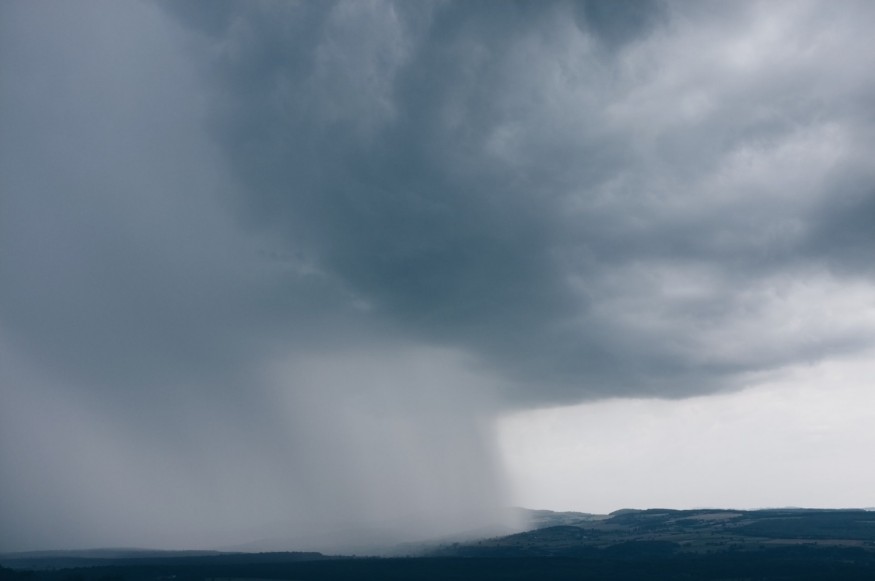
Grace made its second landfall in eastern Mexico last weekend with maximum sustained winds of 125 mph (200 km/h). Due to the hurricane's deadly force, it created flash flooding, structural damage and power outages, and killed at least eight people and several others have gone missing.
Grace stays weak through Central Caribbean Sea, with weak and rather disorganized tropical wave in the eastern Caribbean. AccuWeather forecasters say the "tropical disturbance could develop into the next named system in the Atlantic by late this week or this weekend as it nears Central and North America." Tuesday later in the week could have showers and breezy conditions.
Tropical Development in South Florida
The tropical wave in north across the southwestern Atlantic shows plume of Saharan Dust going westward and over South Florida, creating milky white skies in Miami.
The tropical wave could become better organized into the middle of the week given certain factors that typically favors tropical development. "As this disturbance moves steadily westward across the Caribbean it is expected to encounter strong wind shear through early Thursday, which will likely inhibit development," AccuWeather Senior Meteorologist Randy Adkins said.
"However, by late in the week, wind shear is expected to diminish across the western Caribbean Sea, which may open the door for development over the northwest Caribbean," Adkins added.
Meteorologists say that the tropical wave can enhance showers and thunderstorms from late Wednesday into Thursday across Jamaica and the Cayman Islands regardless its strength.
"If this happens, the system may develop into a tropical depression or tropical storm prior to reaching Mexico's Yucatán Peninsula."
In Cases of Tropical Storm
AccuWeather meteorologists say that if the system does become a tropical storm, with maximum sustained winds of 39-73 mph, or 62-117 km/h, it would be named Ida to distinguish from other tropical development that could come across the basin earlier in the week. In fact, two other tropical features are being monitored in the Atlantic basin at the moment, and one of them could potentially become a tropical storm, expected to track across the Yucatán Peninsula in the weekend.
Even if it doesn't develop into one, the system could still inhibit heavy rain and trigger flooding and mudslides regardless.
"If the system does not develop before reaching the Yucatán Peninsula, it will have another opportunity to do so across the Bay of Campeche this weekend," said Adkins.
This potential tropical system may unload heavy rain over areas hard-hit by Grace and go farther north bringing heavy rainfall and wind to South Texas.
© 2026 NatureWorldNews.com All rights reserved. Do not reproduce without permission.


