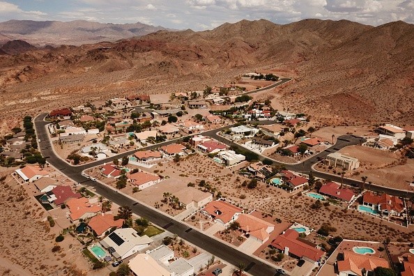
As Arizona gets ready for a potentially consequential flooding event this weekend, flash flooding and dust storms threaten the region in the middle of exceptional drought.
Authorities Issue Flash Flood Watches
Totals of forecasted rainfall across the United States have a targeted spot with the maximum amounts directly over Arizona in the coming five days. It is anticipated that monsoonal moisture will bring over 5 inches of rainfall to some parts of the state, triggering significant flash flooding worries.
Authorities have issued flash flood watches across Arizona and parts of New Mexico, Utah, and Colorado, for almost 8 million people because of the significant rain predicted for the desert Southwest this weekend.
Rob Howlett, National Weather Service (NWS) Tucson meteorologist said: "What we're expecting to see here is a widespread rain event across the majority of the state of Arizona.
"Looking at just the southeast Arizona a lot of the valleys are going to see rainfall amounts most likely between 1 to 2 inches, maybe higher in other spots as well as this is a convective event."
Rainfall
There are possibilities that hit and miss showers and thunderstorms will bring threatening rain totals to some regions while leaving some places dry.
It is expected that the mountains and foothills will withness the most rain with a possibility of about five or more inches of rain at the extreme end, but metropolitan regions like Flagstaff and Tucson, could possibly witness three or more inches of rainfall.
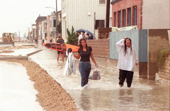
When there is torrential rain in a short period during powerful thunderstorms, flash flooding can take place very rapidly.
Chad Myers, a CNN meteorologist said: "Normally dry stream beds can instantaneously turn into torrents of fast-moving water, especially below burn scars."
NWS Compares Weather Pattern Set Up with 2006 Rain Event
The NWS in Tucson is making a comparison between the setup of the weather pattern this weekend and the rain event that took place in 2006, which led to widespread flooding and caused damages to different areas of Tucson - in part because of a large burn scar in the region.
Howlett said the weather pattern, in general, was closely similar to model predictions for this weekend. Both of them are not exactly the same and no two weather scenarios can be the same. He said there was a tropical system that forced too much moisture up to the region back then.
But so far there have been a lot of rainfall all through July and the soils are quite saturated, and to witness another intense rainfall event would definitely make the concerns for flooding across the area to increase.
Plenty of monsoonal moisture have been brought to the region this July. 1.76 inches of rain has been recorded in Tucson since the month began, 0.4 inches above the average. During the 2006 rain event, soils were almost in the same condition.
Related Article : China Flooding Season: Flash-Flood Warning Raised as 4 Rivers Exceed Dangerous Levels
For more news, updates about rainfall, flash floods and similar topics don't forget to follow Nature World News!
© 2026 NatureWorldNews.com All rights reserved. Do not reproduce without permission.


