Although it is just the end of June, two regions in the Atlantic are being monitored for possible tropical development. The first hurricane of the season is expected to hit portions of Mexico in the Eastern Pacific.
Over the following several days, two regions will be monitored for tropical development.
Low Pressure Area Developing
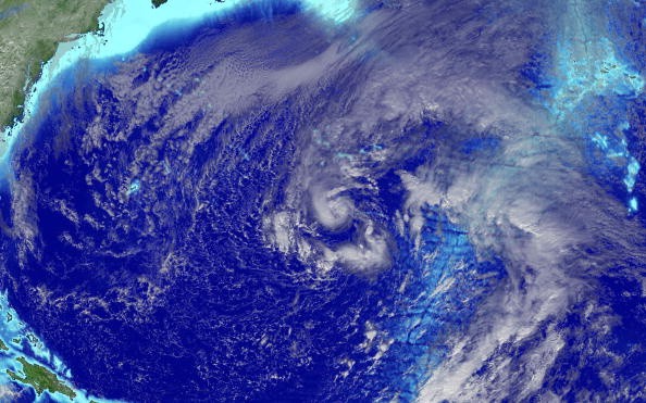
A low-pressure area linked with a tropical wave in the eastern tropical Atlantic Ocean has been classified Invest 95L, which means the National Hurricane Center (NHC) is looking into the possibility of tropical development. Thus is an uncommon location for tropical development this early in the season, as tropical cyclone conditions are generally unfavorable.
This system is still in disarray, and no progress is predicted in the next few days. However, when it travels westward later this week, some slow growth is possible. According to the NHC, this system has a low likelihood of tropical development over the next five days.
Invest 96L, a minor low-pressure system located several hundred miles east-southeast of the Georgia-South Carolina line, is the other region near the Southeast coast. Showers and thunderstorms connected with this system are becoming more structured, and more development is expected, particularly as it travels over the Gulf Stream on Monday.
Possible Landfall
According to the National Hurricane Center, before it comes onshore late Monday, a tropical depression might form, which has given this disturbance a medium likelihood of tropical development. On Monday afternoon, an Air Force Reserve Unit surveillance aircraft will inspect this system.
Tropical Storm Danny

The next tropical storm to form in the Atlantic will be called Danny.
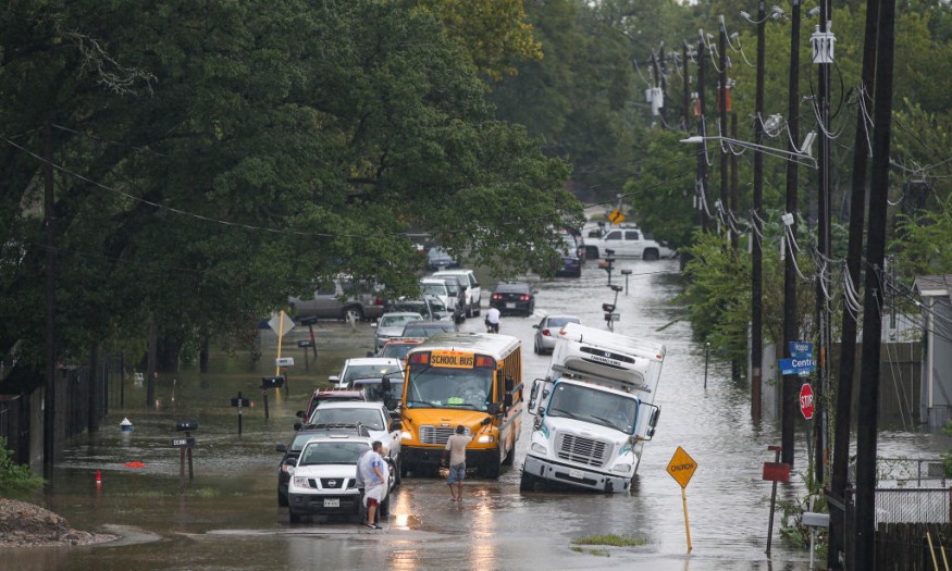
This disturbance will bring rain and thunderstorms to areas of the Southeast early this week, regardless of how it develops closer to the Lower 48.
Heavy rain could cause flash floods around the coastlines of South Carolina and Georgia on Monday and Tuesday. Windy conditions are also possible, especially along the shore.
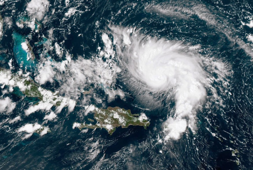
Enrique Landfall
On Saturday, Enrique made landfall in the Eastern Pacific as the season's first hurricane. It is not unusual for the first storm in the Eastern Pacific to form around June 26. On the other hand, Enrique is the season's fifth tropical cyclone, which usually doesn't arrive until July 22.
Hurricane Enrique is making its way northward, close off the coast of western Mexico. For parts of the coast, hurricane and tropical storm warnings and watches have been issued.
By early Monday, hurricane conditions could be present inside the hurricane warning region. Tropical storm conditions will persist along portions of the coast through early Monday, spreading northward.
Heavy Rains in Mexico
In southern Mexico, rainfall levels above 6 inches are likely, with up to 18 inches probable in Colima and coastal portions of Jalisco, Michoacan, and northern Guerrero.
In places receiving heavy rains until early this week, flash floods and mudslides are a worry.
There will also be high surf and rip currents.
Beginning Monday, Enrique is likely to weaken as it passes over lower sea surface temperatures.
For more climate and weather updates, don't forget to follow Nature World News!
© 2026 NatureWorldNews.com All rights reserved. Do not reproduce without permission.


